Brecon Beacons, day 4 / 5
Day 4 of my Brecons walks: the Carmarthen Fans
17 June 2021
Today I headed a bit further west, over to the Carmarthen Fans. The book said there was "free parking on a dead-end lane that leads east from Llandeusant. Riiiight. Fortunately they gave a map reference too (SN 799 238).
But a funny thing happened on the way to the dead end. As I was traversing some moorland, a sign ahead said, "Road Closed". A Security Gentleman there informed me it would only be closed for ten minutes "while they do some filming". Apparently some kind of Disney adventure was being filmed, and they didn't need a BMW520 extra in the background.
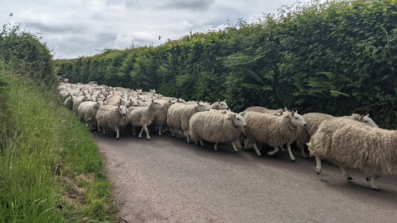
Once I'd passed the filming, the roads got narrower. And then I came across the sheep, being herded down the road by a bored looking farmer on a tractor and his talented and hard-working canine companion. Sheep don't travel that quickly, although they move pretty sharpish when told to by a Qualified Sheep Dog.
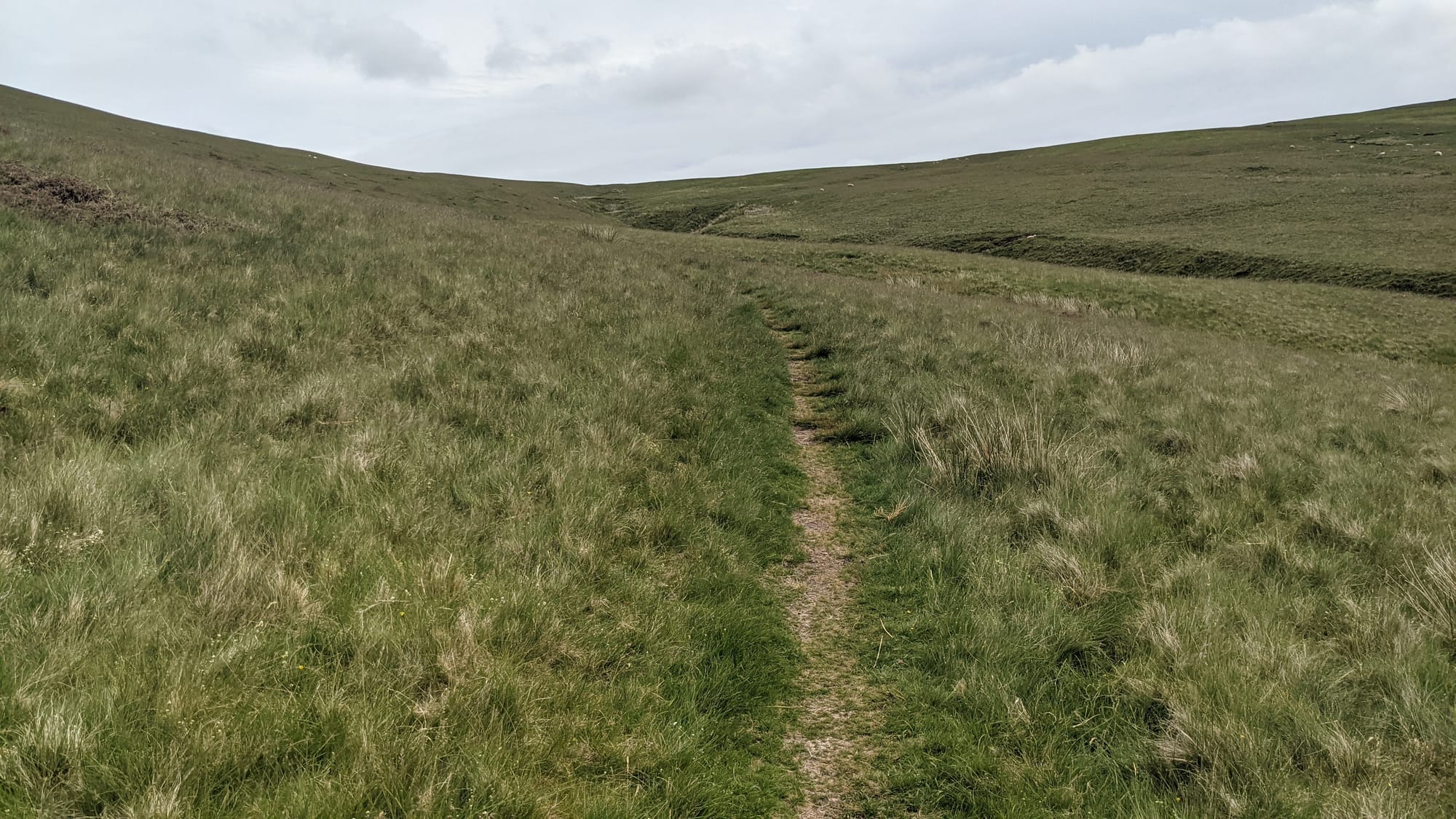
I eventually parked and started climbing. The book said I should "locate a faint path that contours eastwards". This mostly excellent book was published in 2010: what do you think the chances are of the "faint path" still being thus qualified eleven years later?
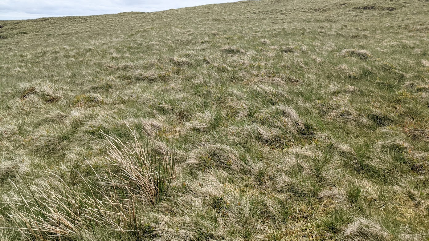
I found a number of faint paths, mostly going east for at least some of the time. I had no idea which one the author had in mind. I resorted to going cross country over that wiry, springy, not-easy-to-walk-on grass to try to find "the" path.
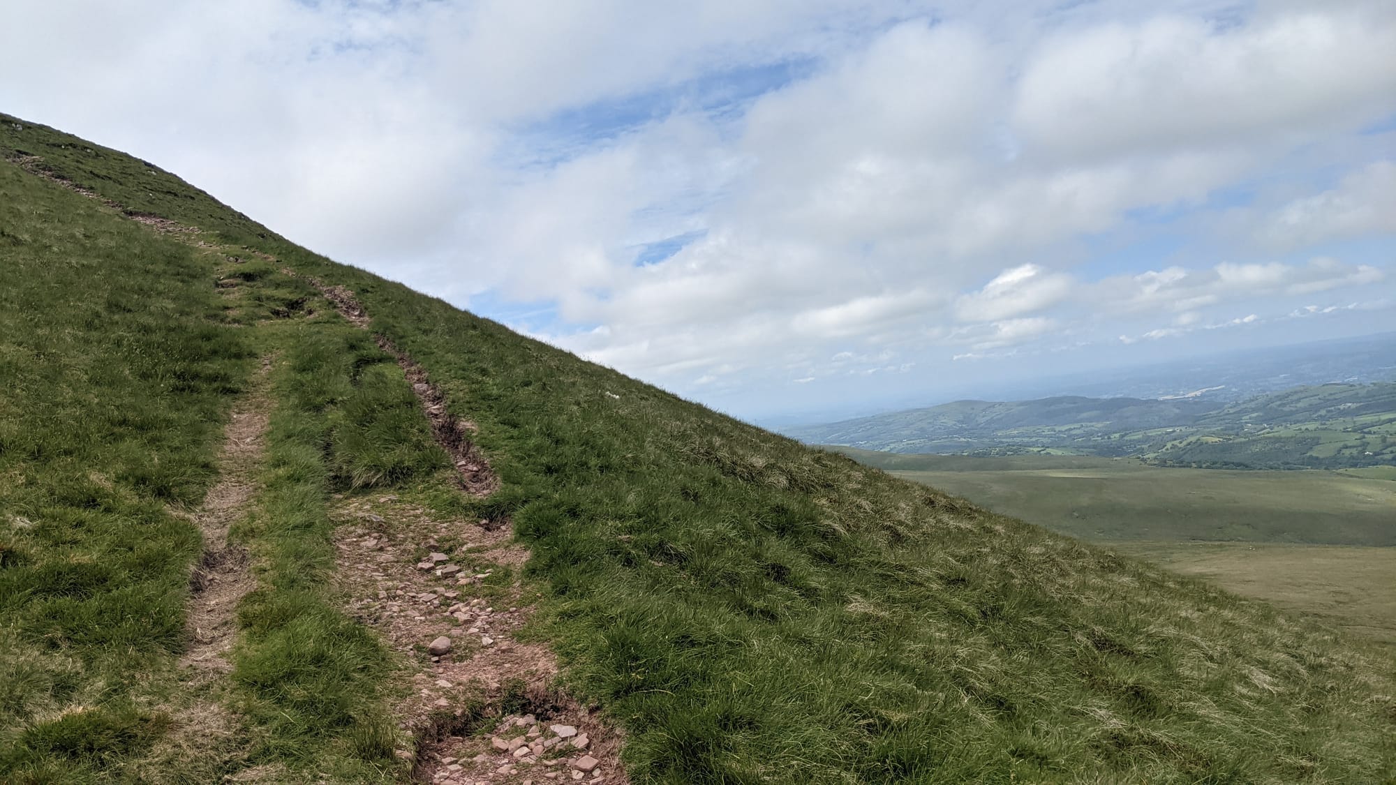
In the end, my OS map, compass and I decided find our own way to today's first mountain, Fan Foel. I was making reasonable progress up it when I was overtaken by two 20-something guys who didn't realise that you're supposed to stop and catch your breath every few minutes.
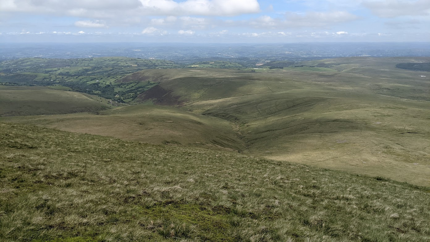
The top, of course, offered good views. By now, the sun was obscured and, as expected on top of a mountain, the wind speed was higher. Also, it's cooler the higher you go (take note, Icarus), and I was getting cold.
In my rucksack every day I've had OS map, compass, torch, jumper, waterproof over-trousers and waterproof jacket. The torch, trousers and jacket are only things I've not used so far.
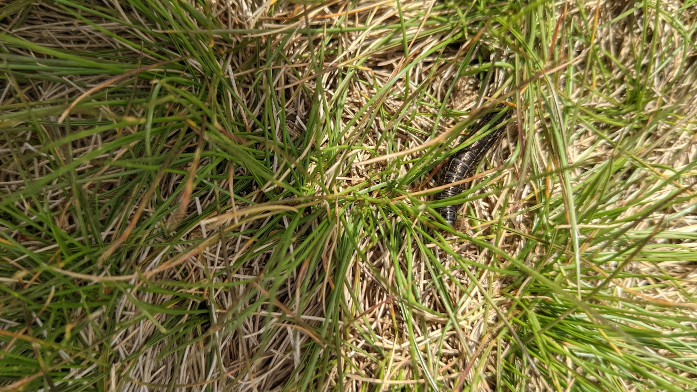
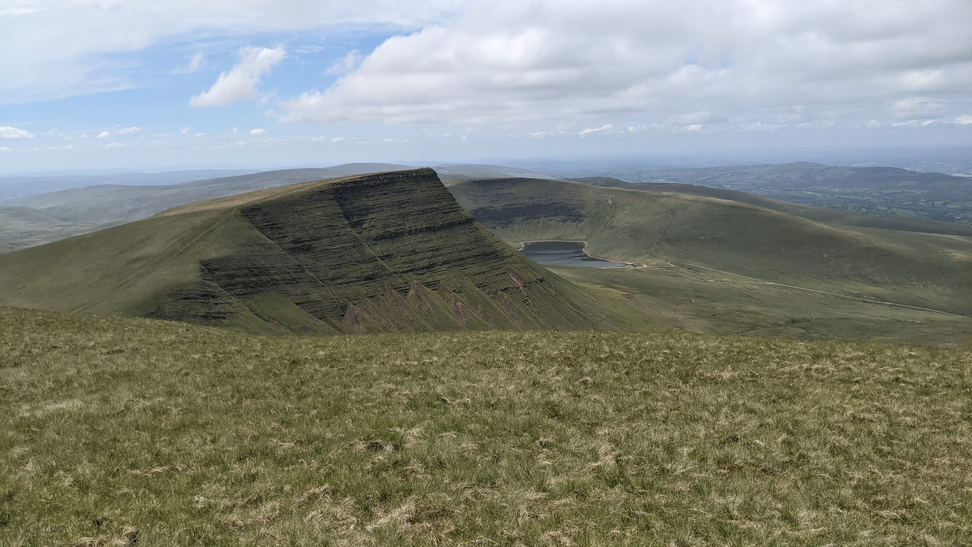
Equipped with jumper, I headed for the next peak, Bannau Sir Gaer. That was about the same height as Fan Foel, but with a big dip-and-reclimb between them. Jumper off, I scampered up BSG, overtaking a number of caterpillars on the way.
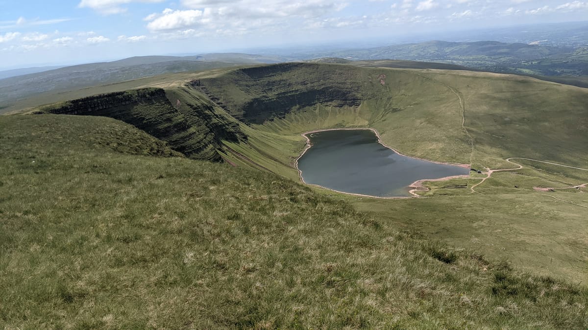
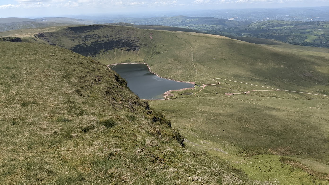
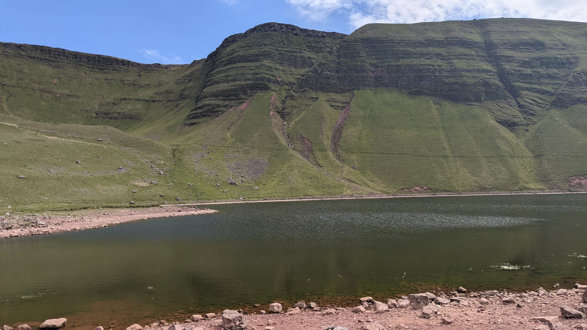
BSG had the by-now familiar escarpment and, sheltered below it, Llyn y Fan Fach, a lake. The top of BSG was lovely: sun was shining again, the wind had dropped, and it was warm and peaceful.
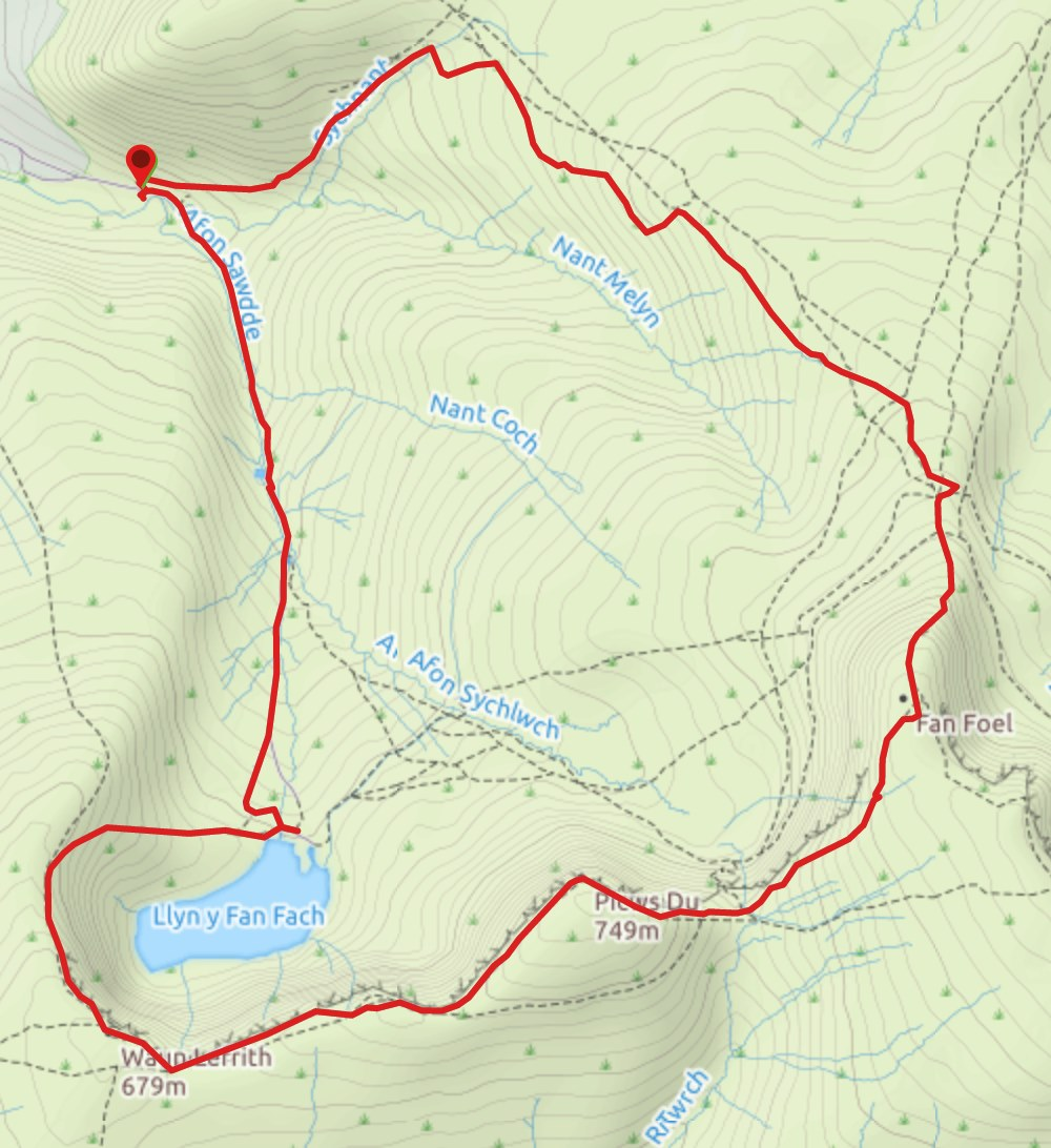
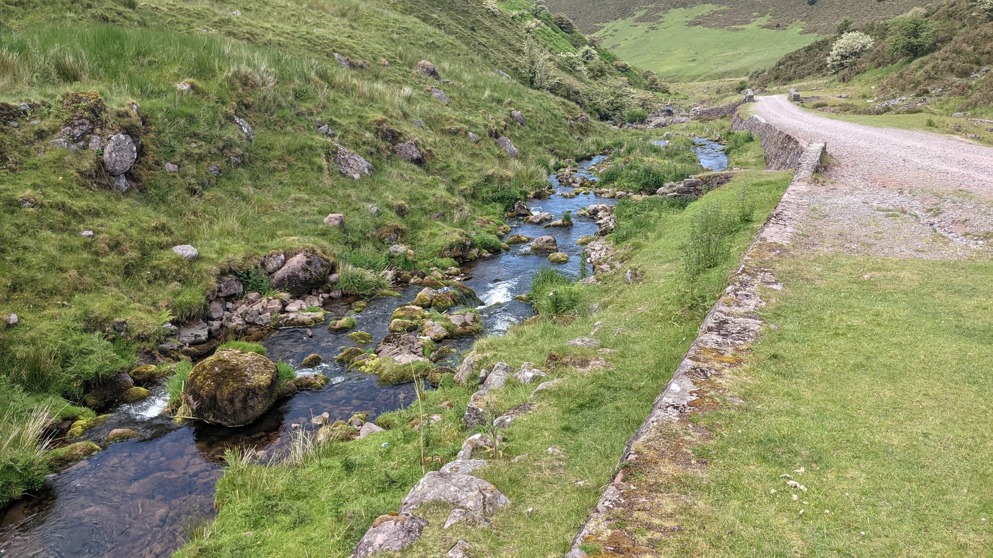
Next, round the top of the lake 200 metres above it, then a descent to the lake itself. From there, a walk along a track accompanied by a stream to one side to return to the car park.
I looked at the track I'd taken later, and while heading broadly east at the start, I'd gone some way north as well in a bid to find the right path. For future reference, "faint" paths will be ignored and I'll use map and compass to get to a clear landmark.
Verdict: a good walk, but frustrating to start with re paths.
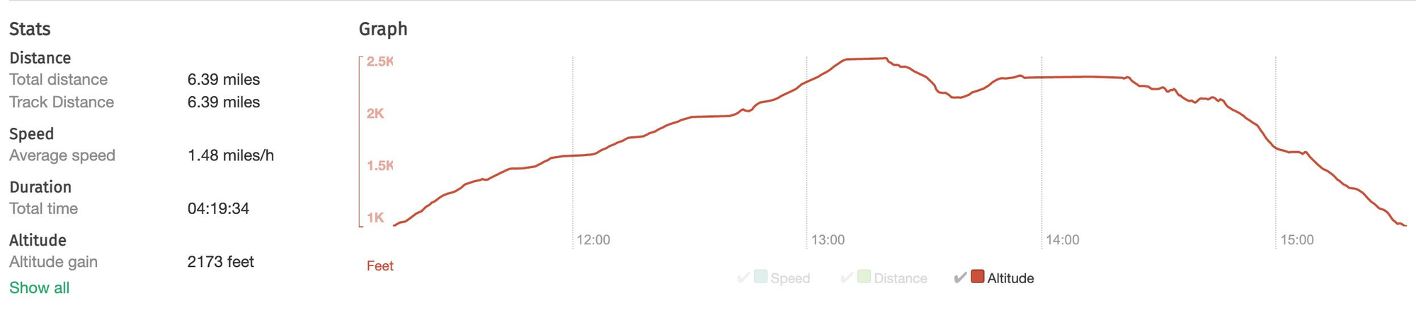
Maps and stats