Walking Bredon Hill
Walking Bredon Hill following walk 28 in the Pathfinder Guides "The Cotswolds"
I've known Bredon Hill for decades. I used to glide from time to time at Bidford Gliding Club and Bredon Hill was straight ahead five miles from the airfield. I've flown over it, walked parts of it, and a good friend of ours lives on the side of it. There's also a tree planted there in memory of a dear friend who left us in early 2024.
I knew the views from Bredon Hill would be spectacular, so I was watching the weather all week. Wednesday was forecast to have the best visibility, so Wednesday was Bredon Hill day.
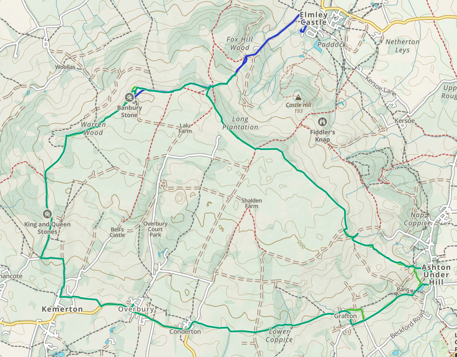
Bredon Hill is at the north-west end of the Cotswolds, separated from them by the Vale of Evesham. My walk started in the village of Overbury.
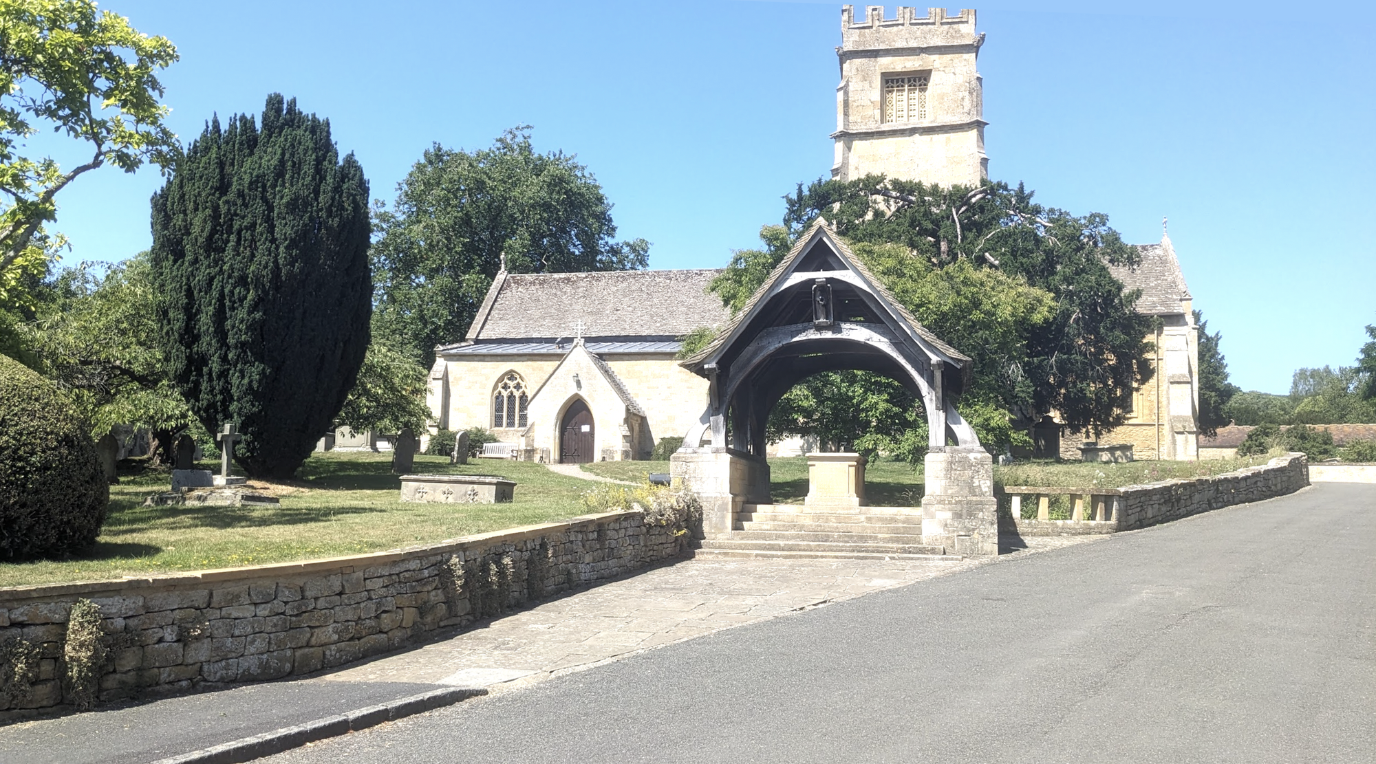
Overbury is a pretty little village on the south side of Bredon Hill featuring - as so many villages here do - a church in well-kept surroundings.
The sky was clear; the sun was warm; the forecast was for 28°. I set off.
As I turned off the main road and headed off along a footpath at the side of a field, the field's resident came over to wish me good morning and check me out.
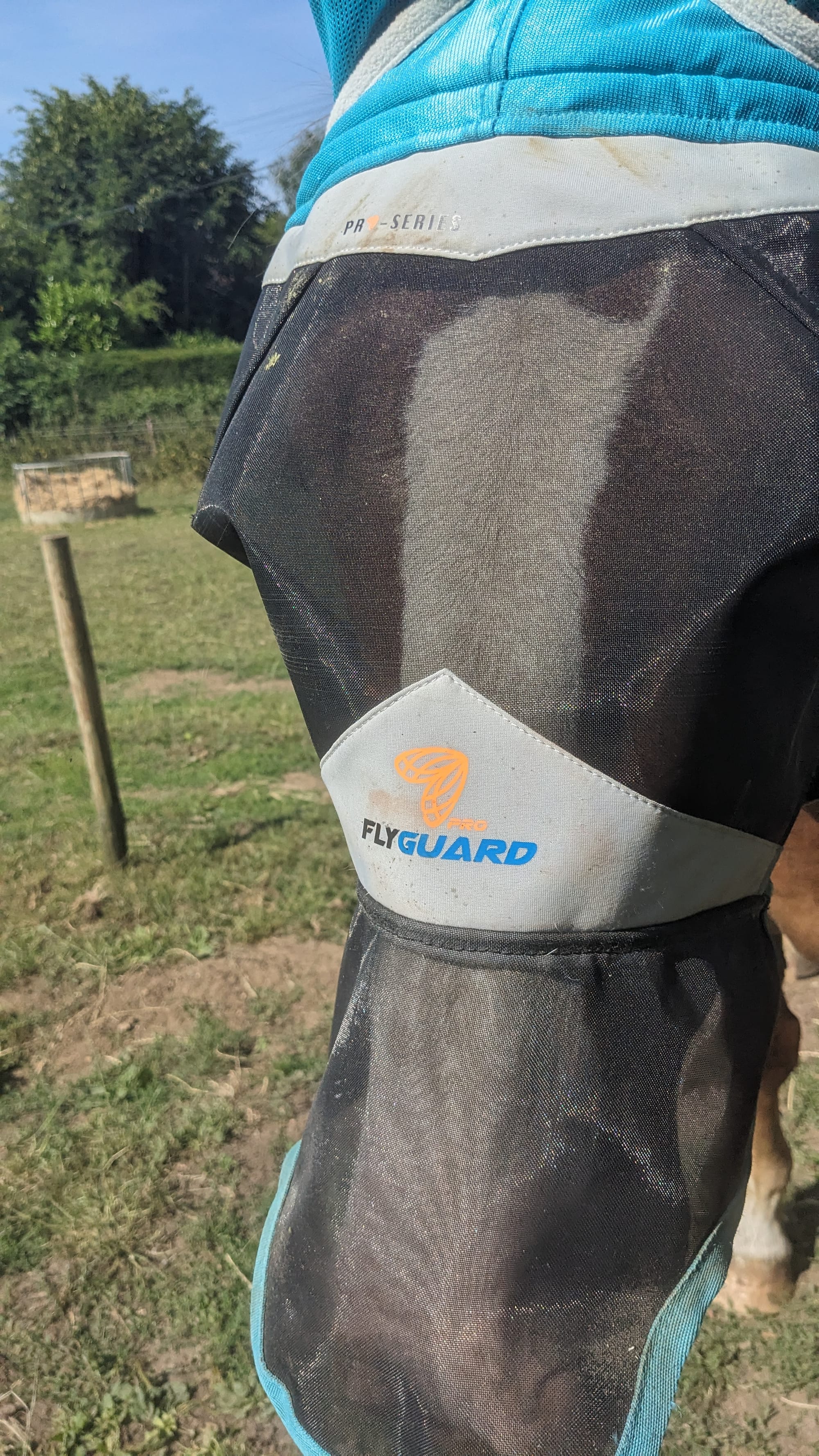
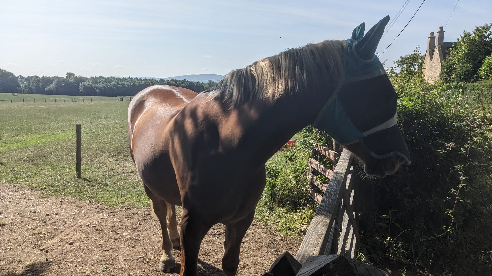
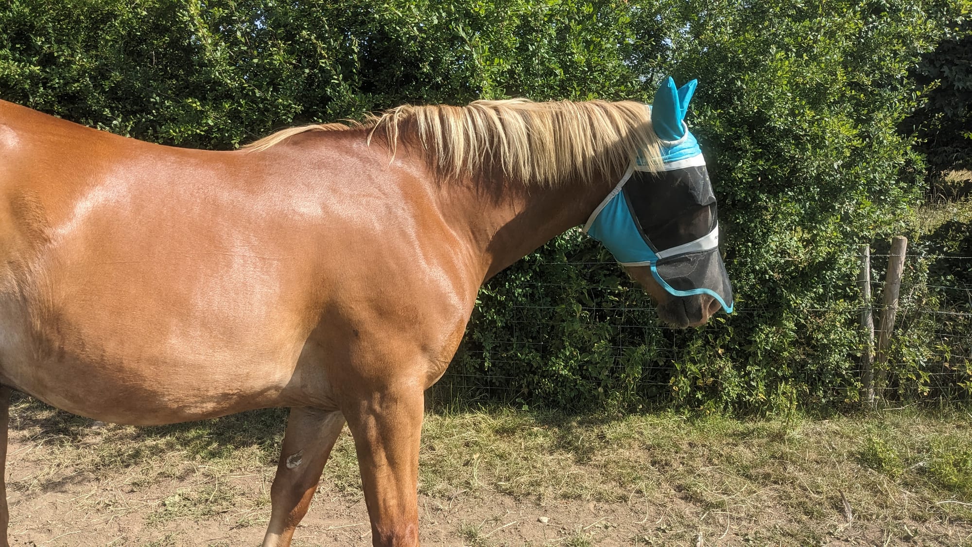
25 years ago this would have terrified me. Today, I know that horses are mostly harmless and are really only after one's money. I know that, despite having evolved over aeons, they will expire pretty much instantly if they don't have a Mexican bandit mask, food (despite the fact that they live in a grass field) and a rug. How this one was surviving in 25-odd degrees without wearing a rug is beyond me. I will check with the good doctor when I get home.
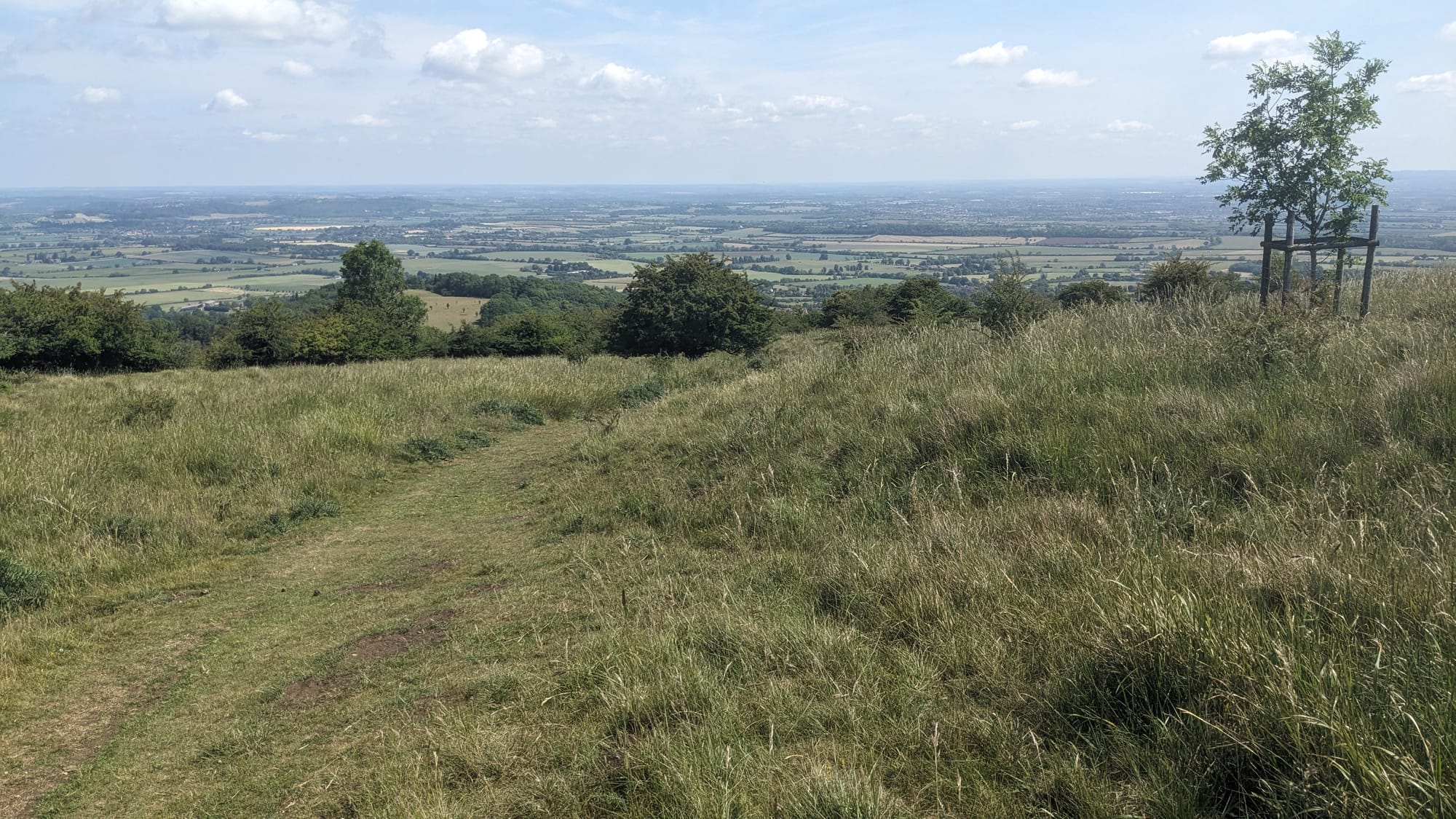
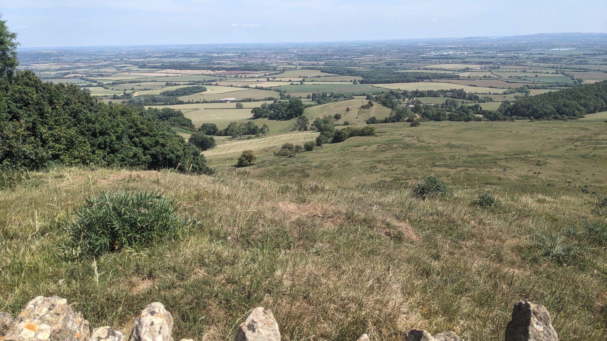
Pretty soon the "up" part of the walk started. It wasn't too bad with much of the initial climb being along a shaded bridleway. As I got higher, two things happened. The shade disappeared and the view appeared.
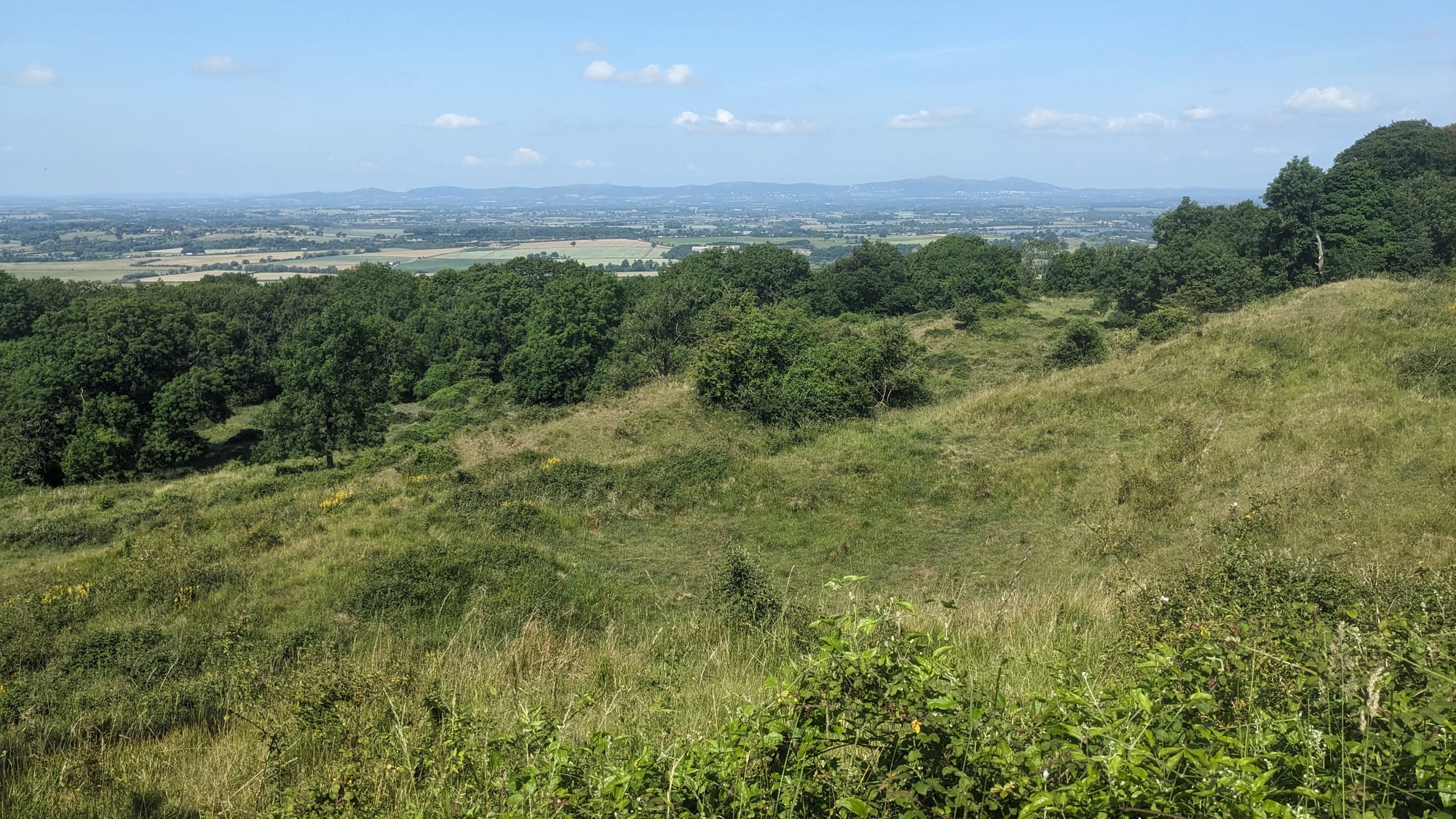
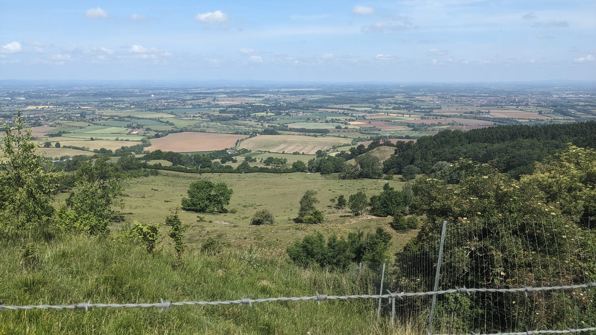
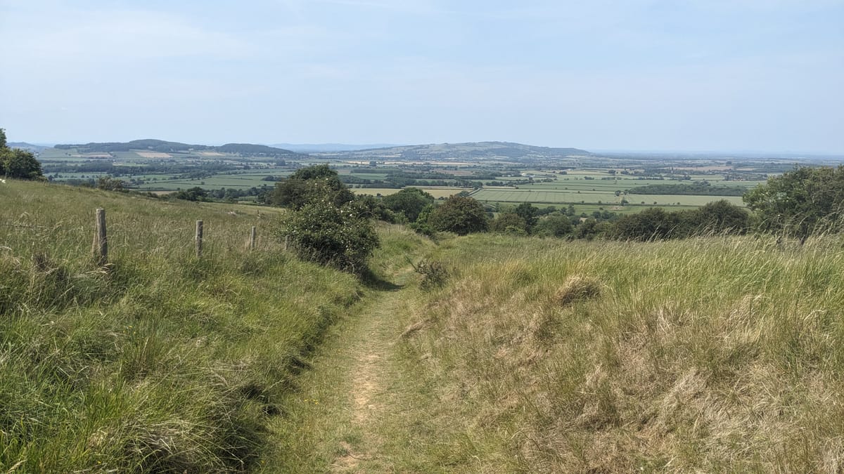
The views from the top of Bredon Hill were spectacular. Here's the view towards home with the Malvern Hills in the distance:
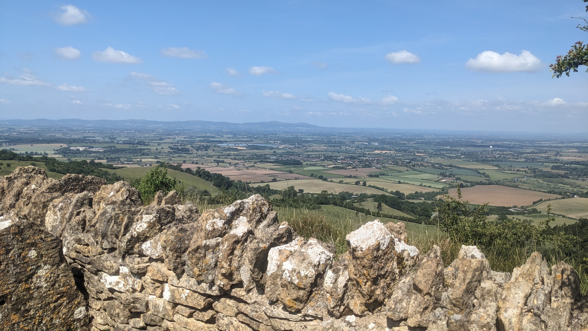
The western side of the top of Bredon Hill around to the northern side is contained within a drystone wall. As forecast, the visibility was good with just a touch of haze towards the horzion. I saw very few people on the way up although there were a few resting their bones at the top. Resting was not for me, of course: onwards and, now, downwards.
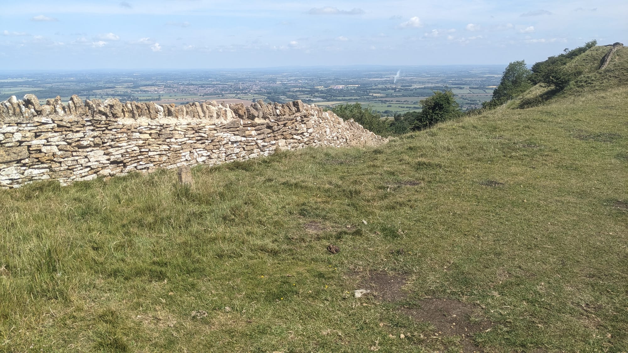
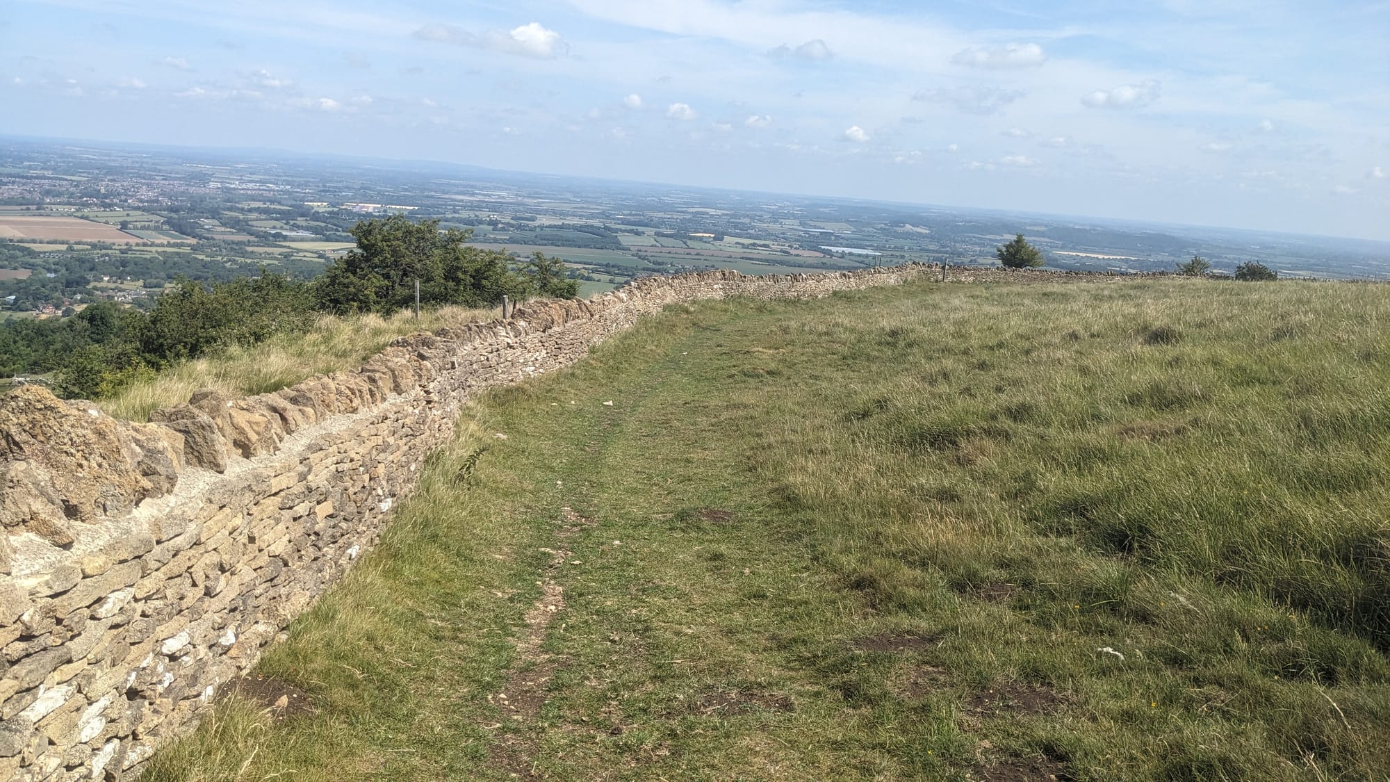
The excellent Pathfinder Guide of Circular Walks ("The Cotswolds" edition) had served me well, and although I had deliberately deviated from the proscribed path once or twice, I was now following its guidance around and down the hill.
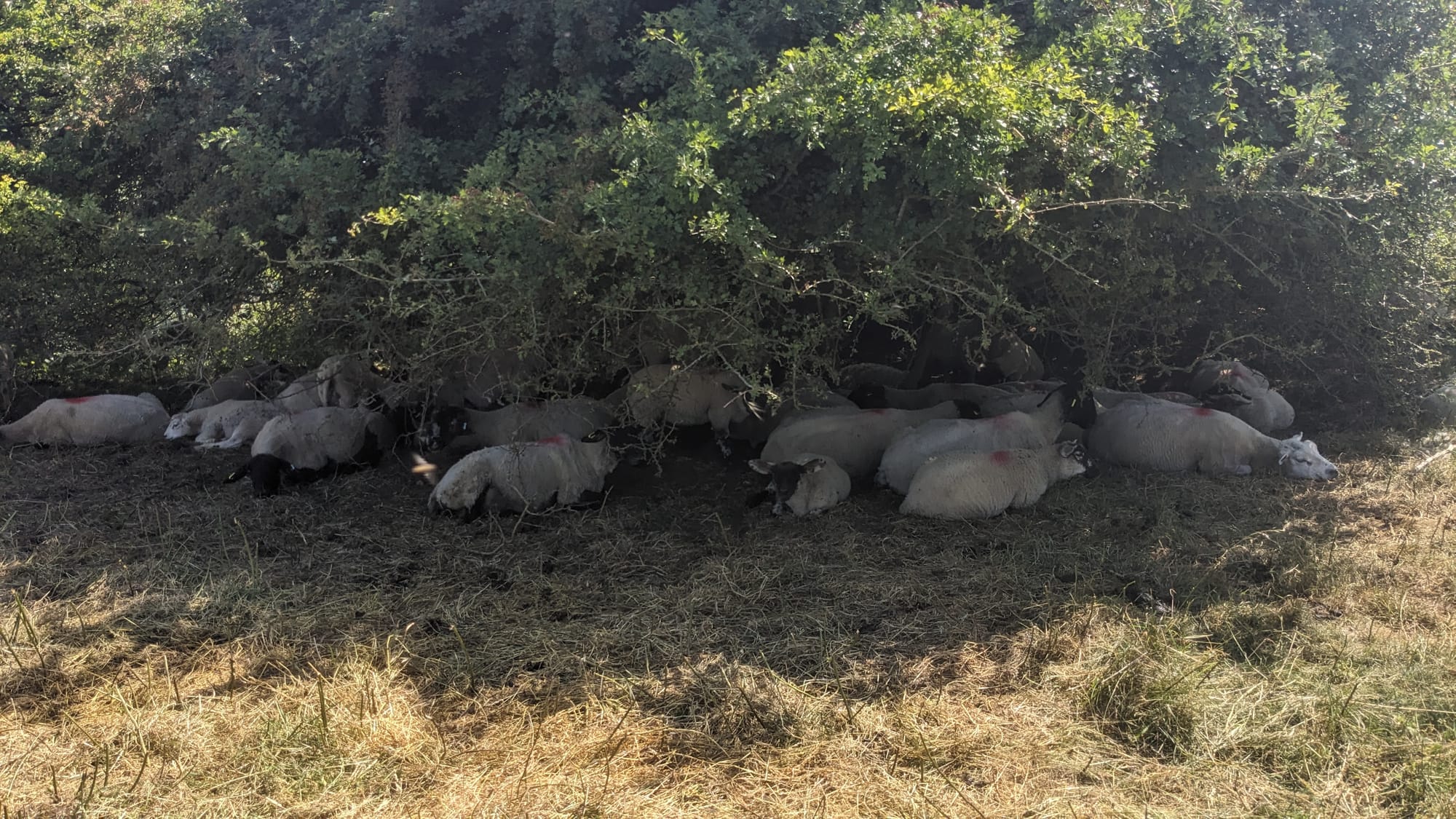
I passed a few sheep who were just idling around under a tree, no particular place to go, and then set off on a path between two hedges, finally emerging to yet another landscape view.
But there was a problem.
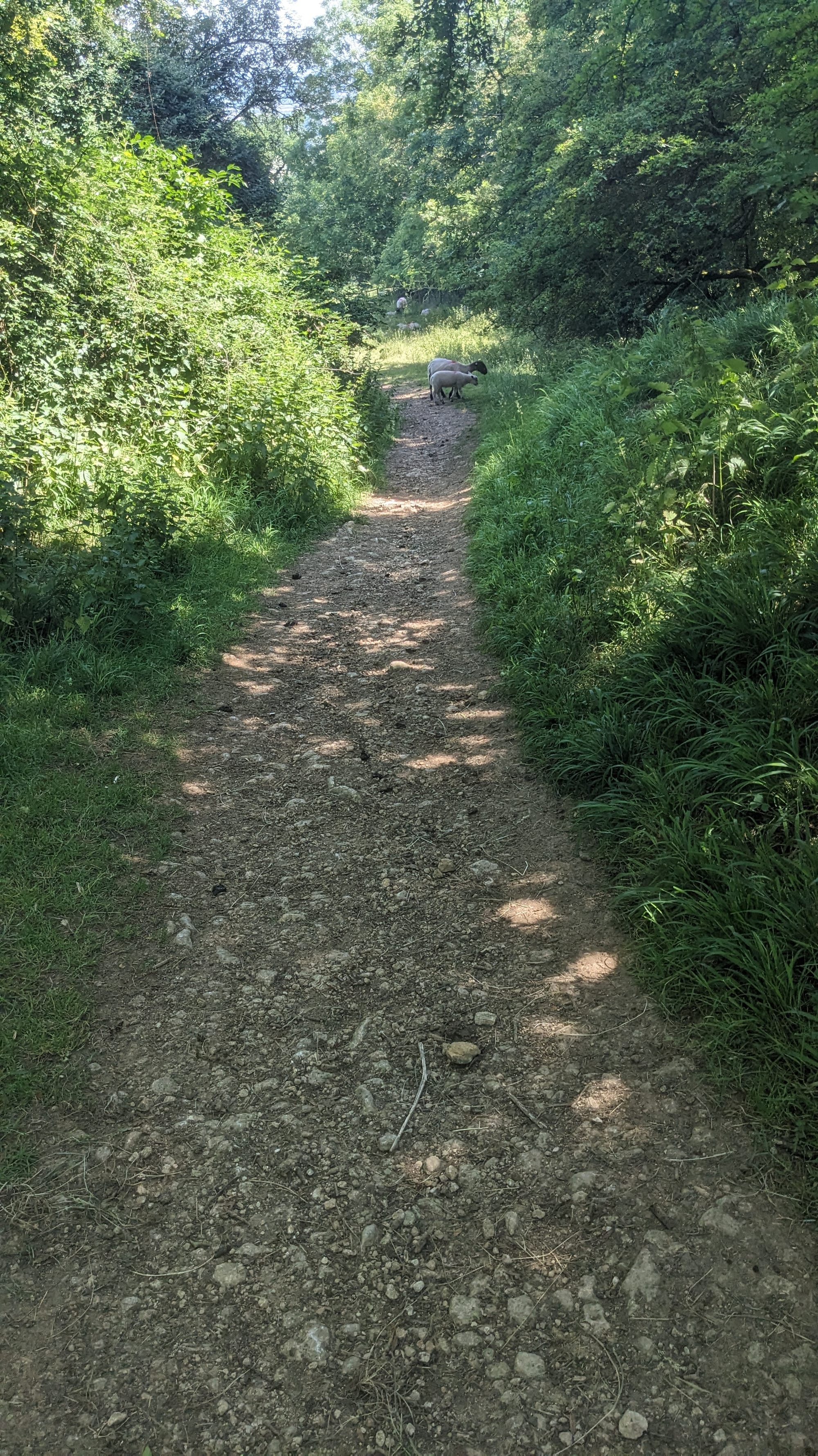
Idle sheep; an enclosed path; no wall
The book said, "Continue along the edge of fields, by a wall on the left, descending gently to go through a gate".
But there was no wall. No sign that there ever had been one. Could the book be wrong? I took out my compass. That, too, was wrong. Hmm.
20 minutes later, having gone back up the hill (do you have any idea how frustrating that is?), I found the route with the wall. I had passed the sheep again, and it sounded as if they were sniggering. I pushed on.
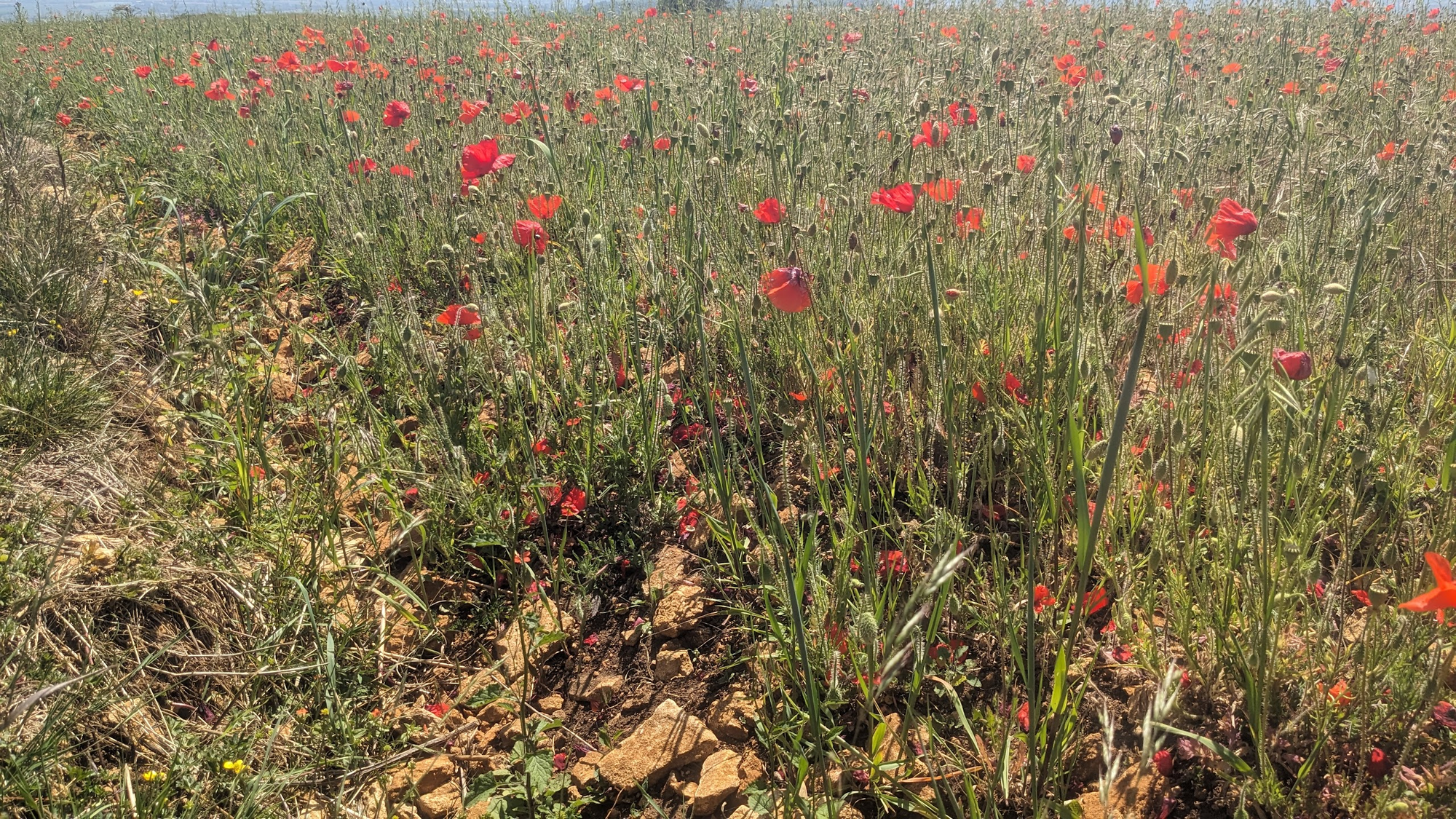
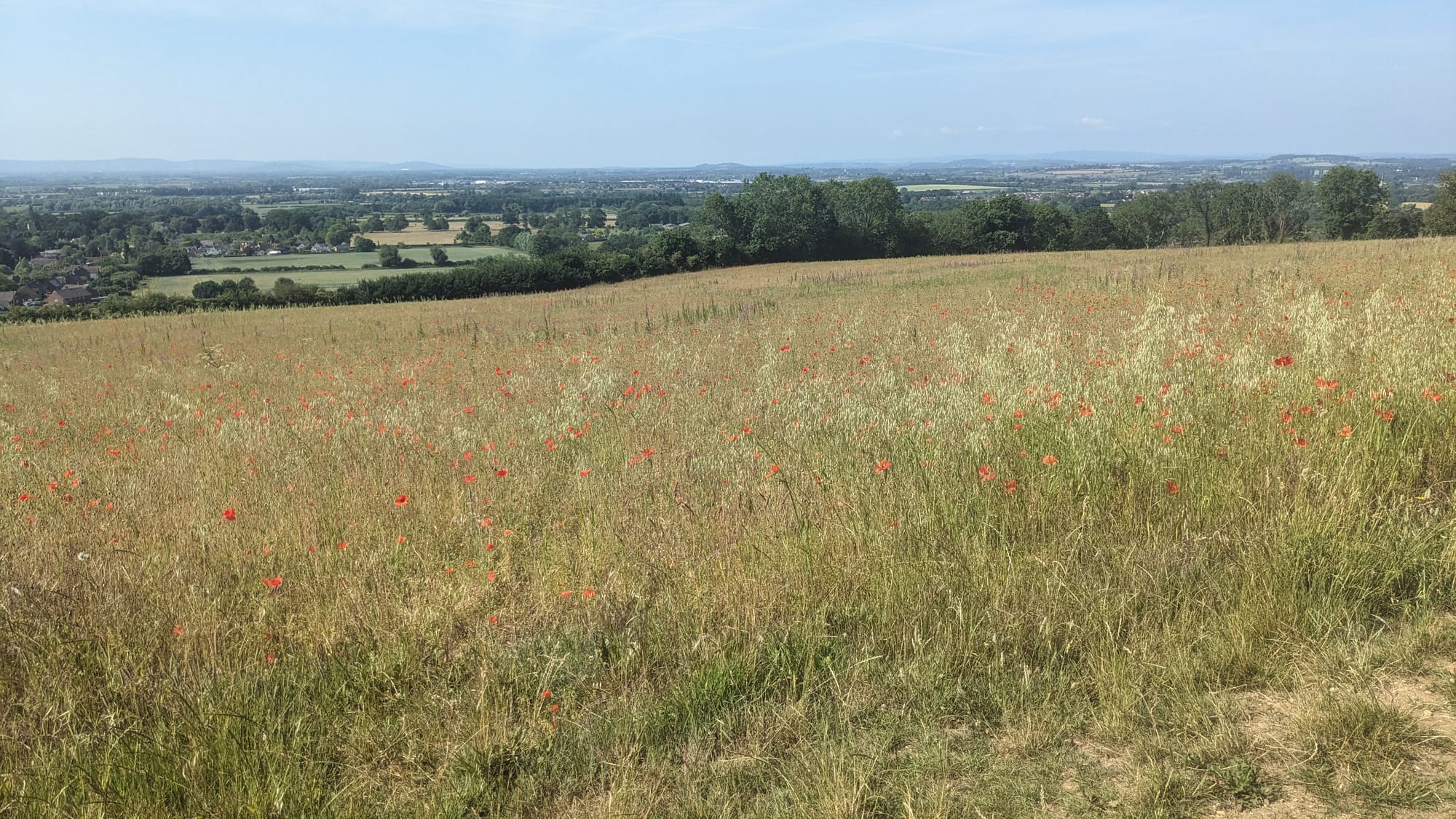
If I'm honest, the descent and return to Overbury was a little anticlimactic. I did pass a field of aesthetically pleasing poppies, but the sun was high and - even though mostly walking downhill - it felt like hard work.
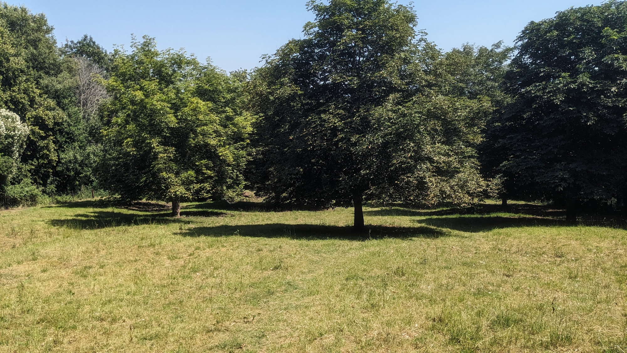
Just as I was approaching the road that would take me the last half-mile back into Overbury, had to pass through a little orchard. And that made up for the hot and somewhat tedious few miles preceding it: shaded, soft grass, and looking very English. I promised myself a cup of celebratory tea when I got back to my cottage.
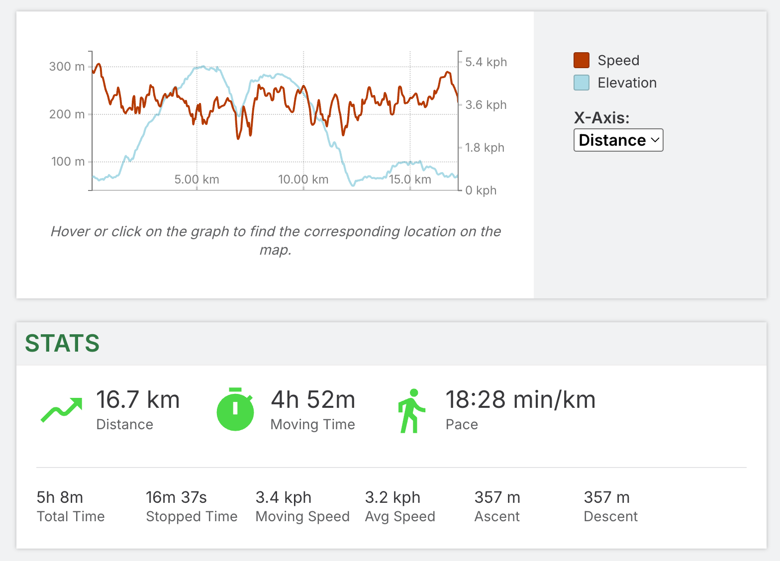
Map and statistics