Brecon Beacons, day 3 / 5
Day 3 of my walking in the Brecon Beacons: above the valleys
16 June 2021
After the ardour of yesterday, something a little lighter was called for. The starting point today was the car park at Cwm Gwdi (SO 023 247 for those of following my every move on the OS map).
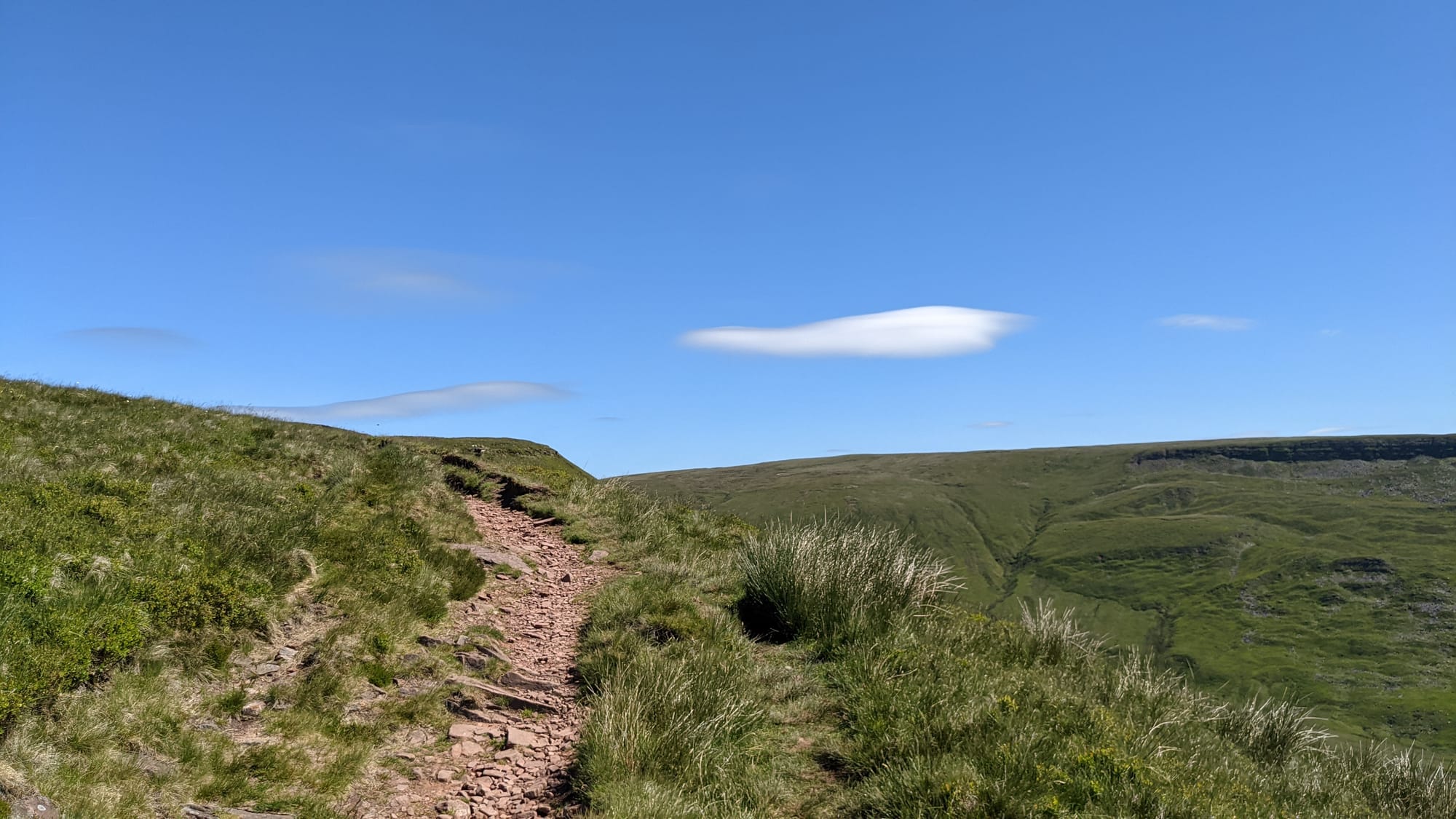
Another successful egress from the car park - this really is easy - and then The Climb. To be fair, this was the only significant climb of the day, but was an unrelenting 1000' ascent (sounds more than "300 metres").
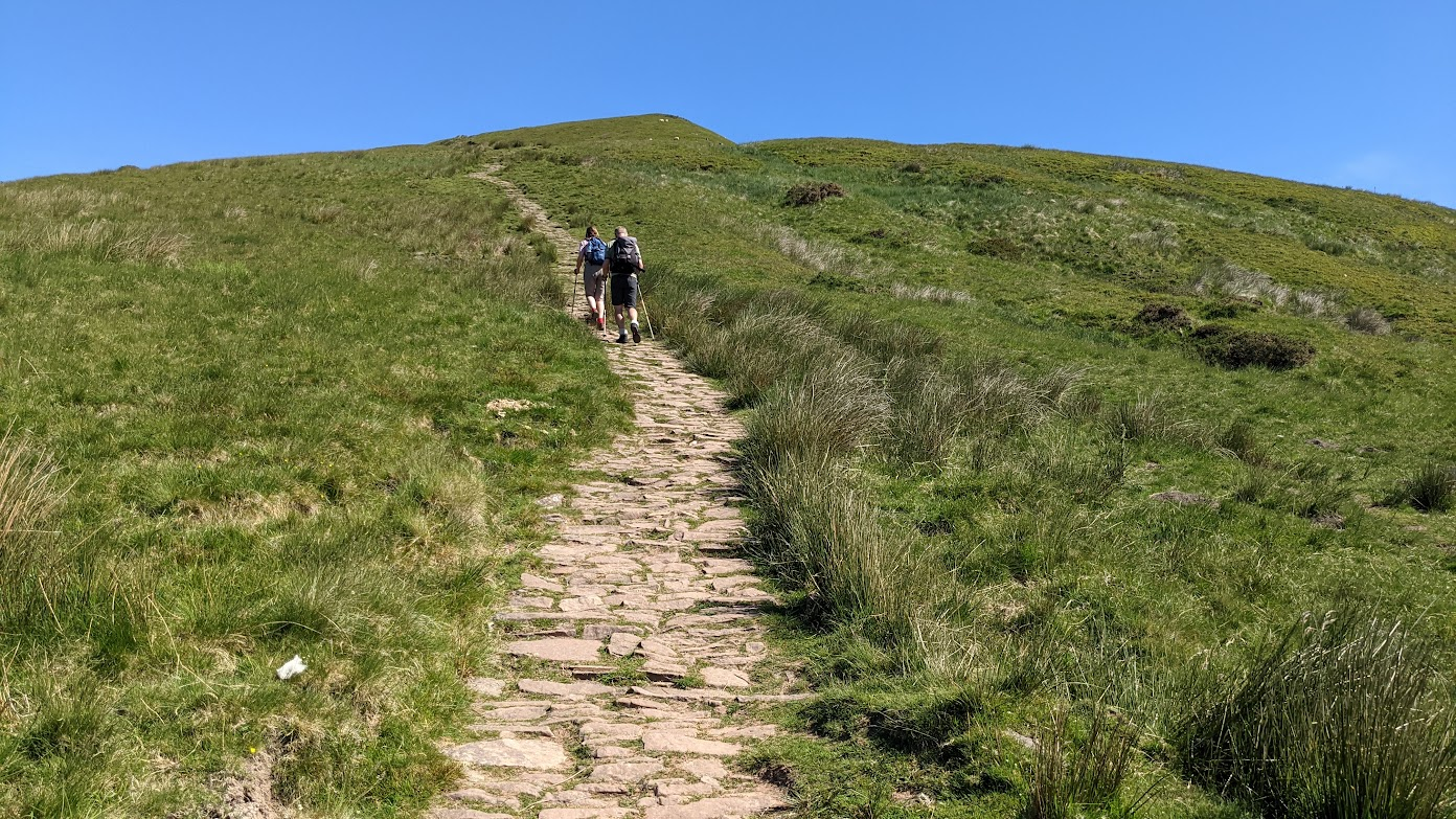
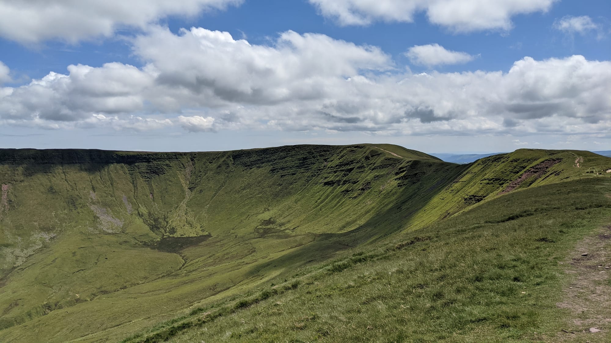
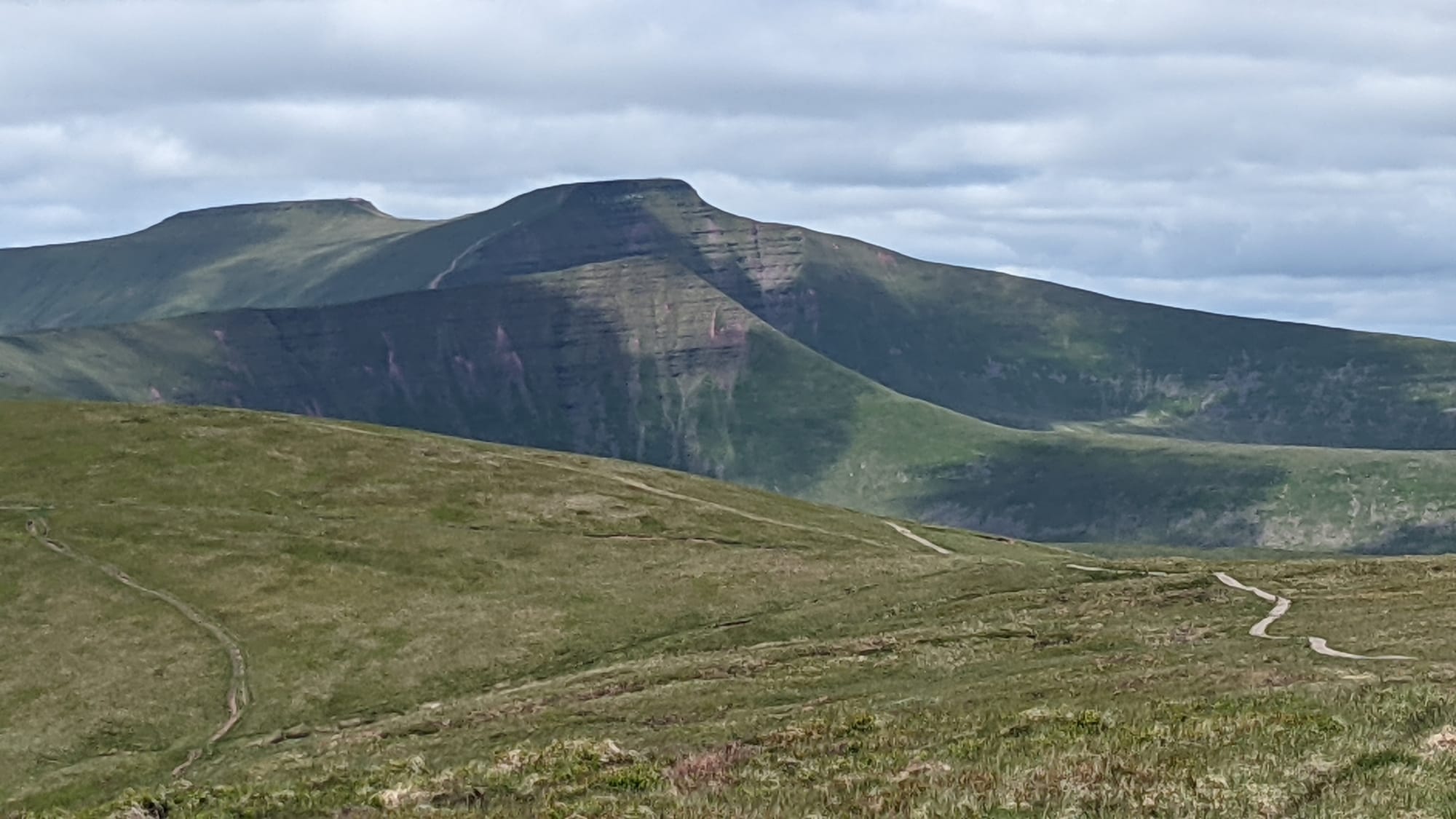
The climb put me on top of a valley wall and now the walk was along that wall so mostly level. This part of the Brecon Beacons consists of five "fingers" that form four closed valleys with a mountain parked at each closure. We met Cribyn, Pen y Fan and Corn Du yesterday; today, we're meeting Fan y Big - but not just yet.
Ahead of me were the fingers pointing away. If you hold out your right hand in front of you, I was approaching the joints of the little finger from the direction of your elbow.
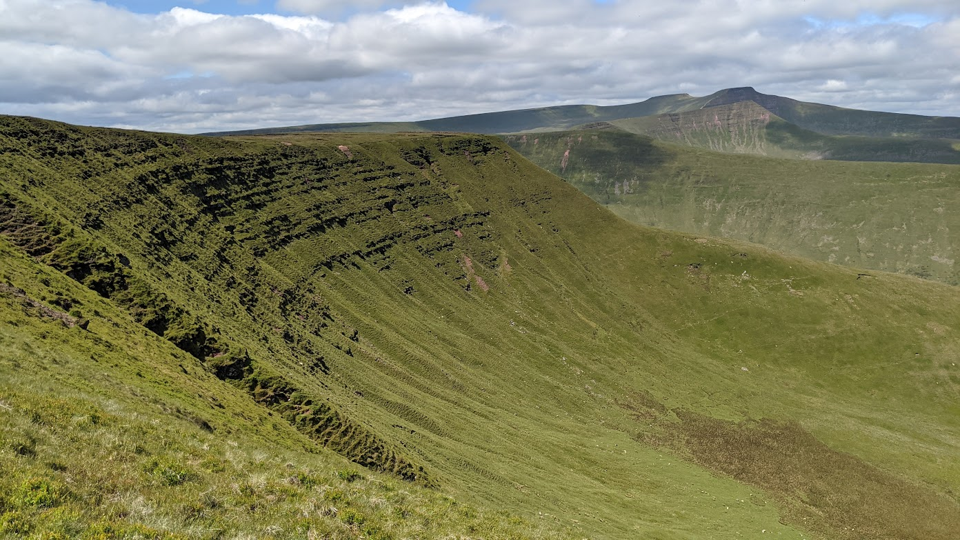
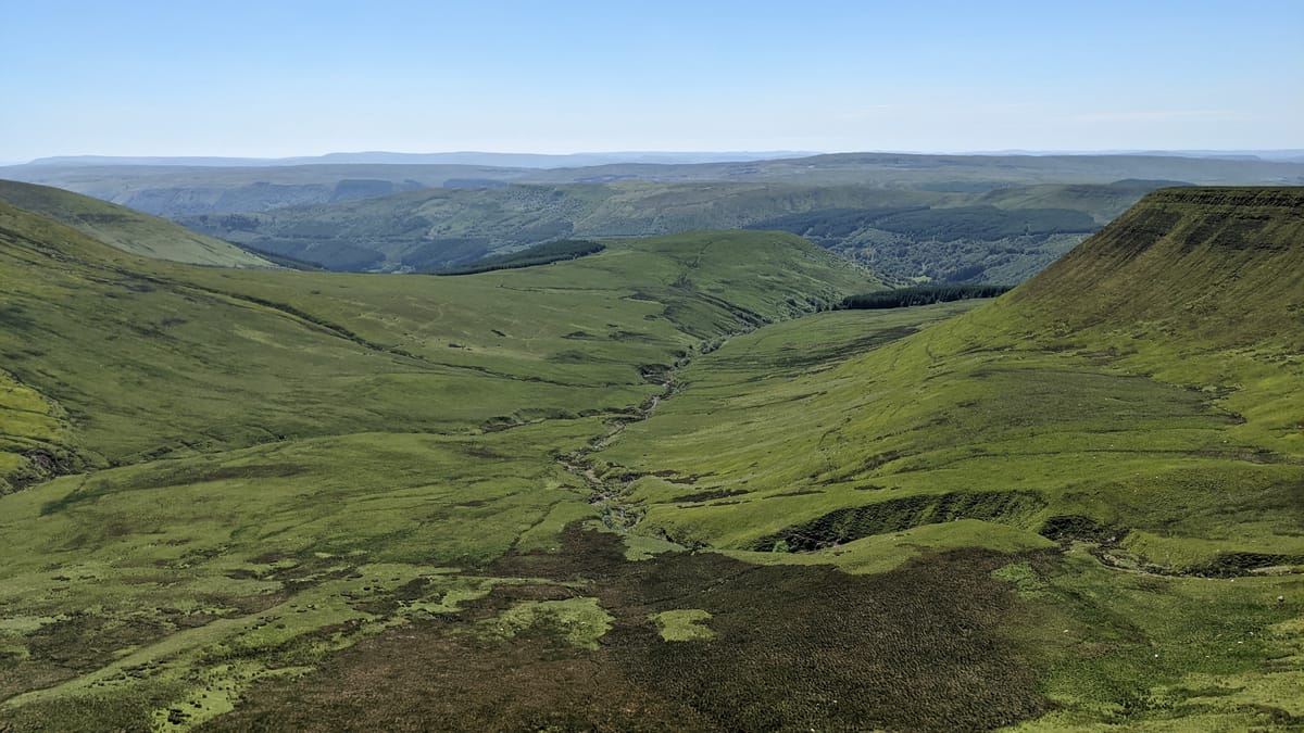
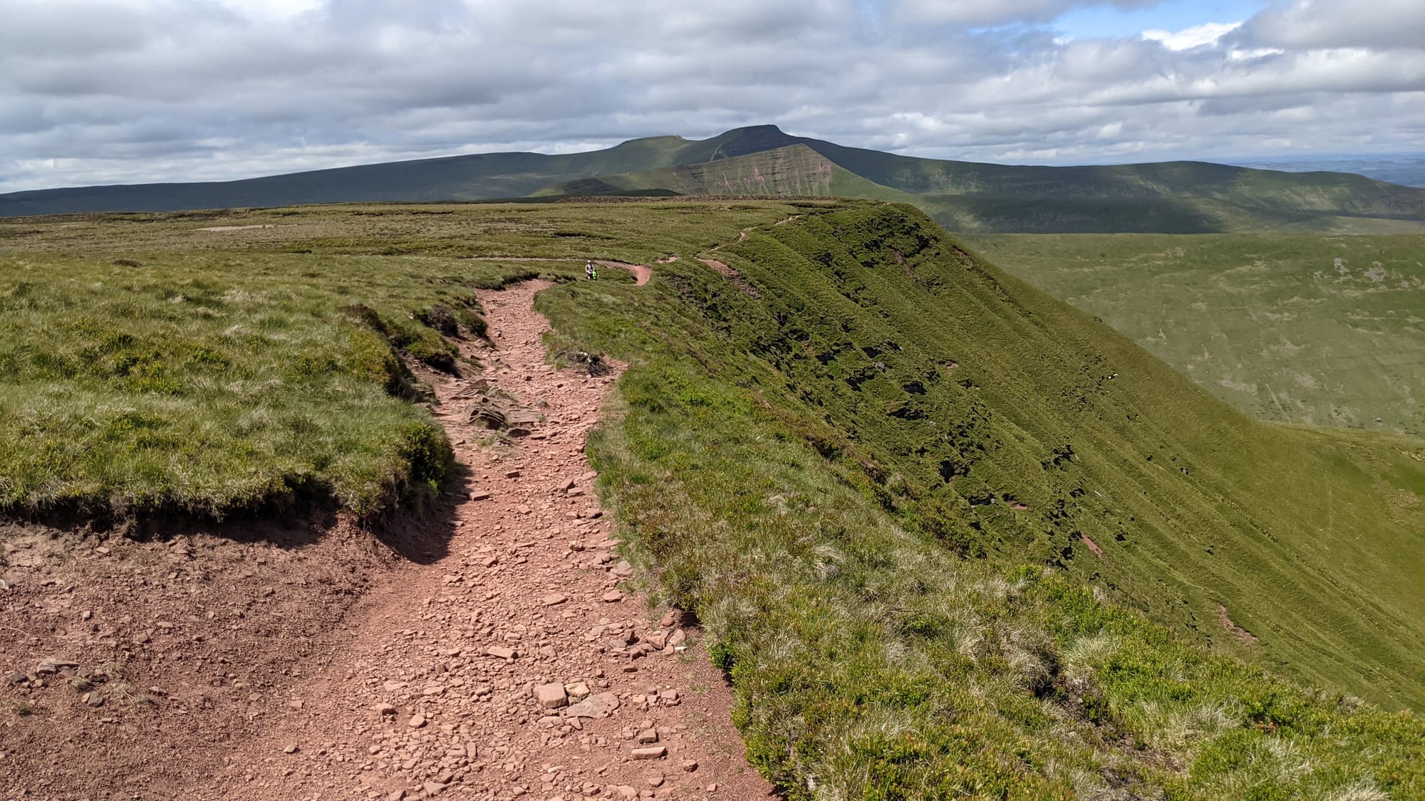
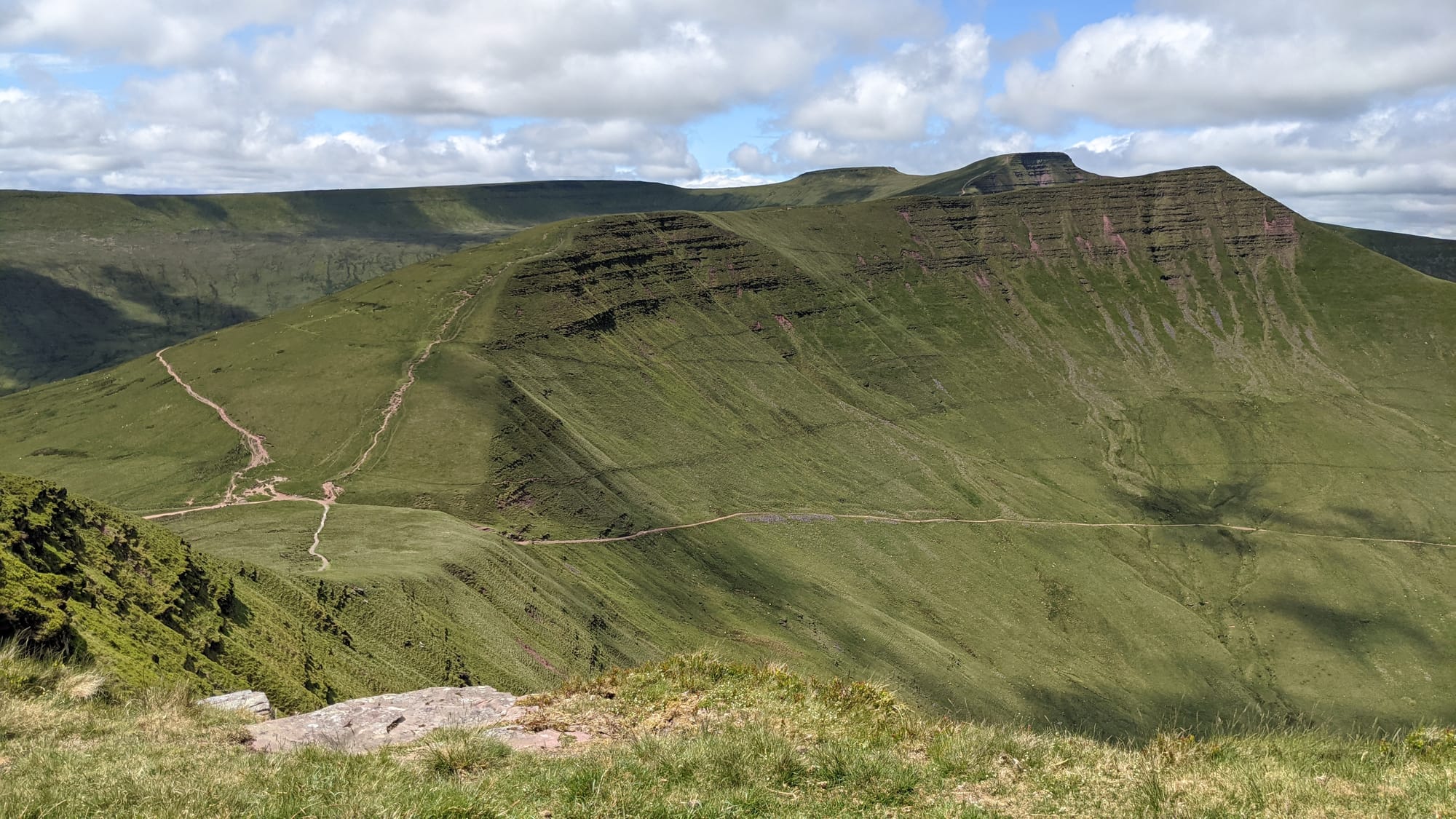
Reaching that finger, I made a sharp left and walked around and above the escarpment. The dramatic view was nicely matched by the dramatic drop a metre or so to my right. Continuing to walk round, I approached the summit of Fan y Big with both Cribyn and Pen y Fan visible.
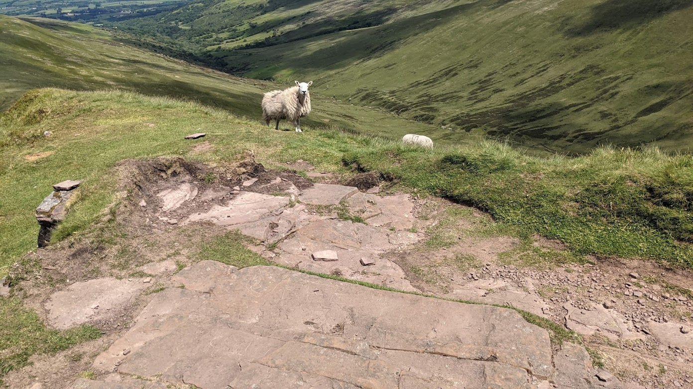
My non-tourist guidebook described the summit of Fan y Big as "rather unremarkable", which sounds a bit mean until you get there. Paradoxically, "unremarkable" is an accurate description. The summit was occupied by a sheep and (presumably) its offspring, both of whom had elected to dine on grass today.
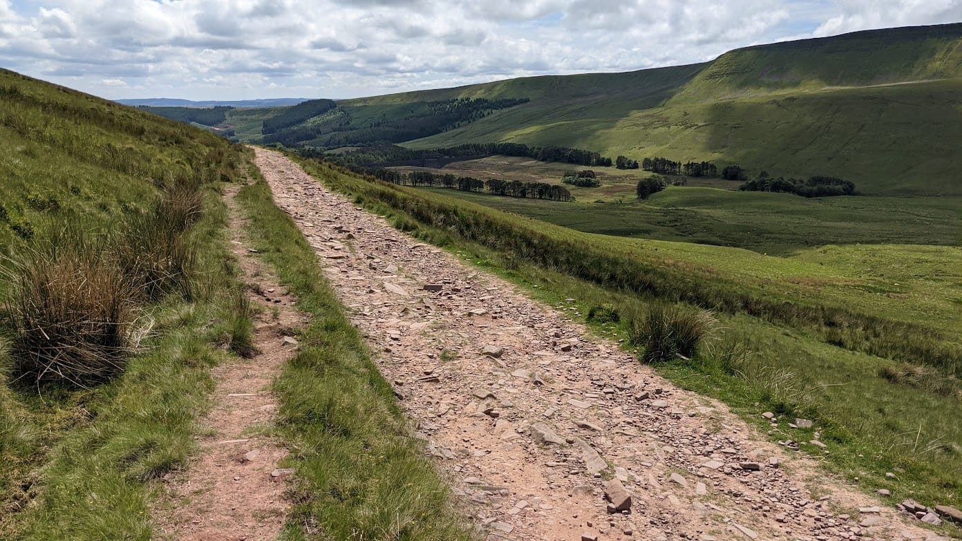
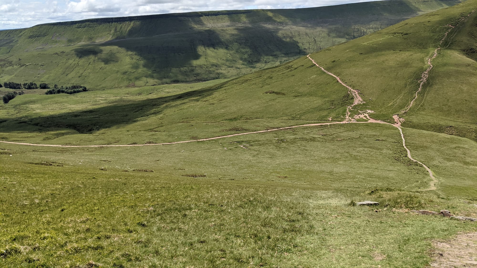
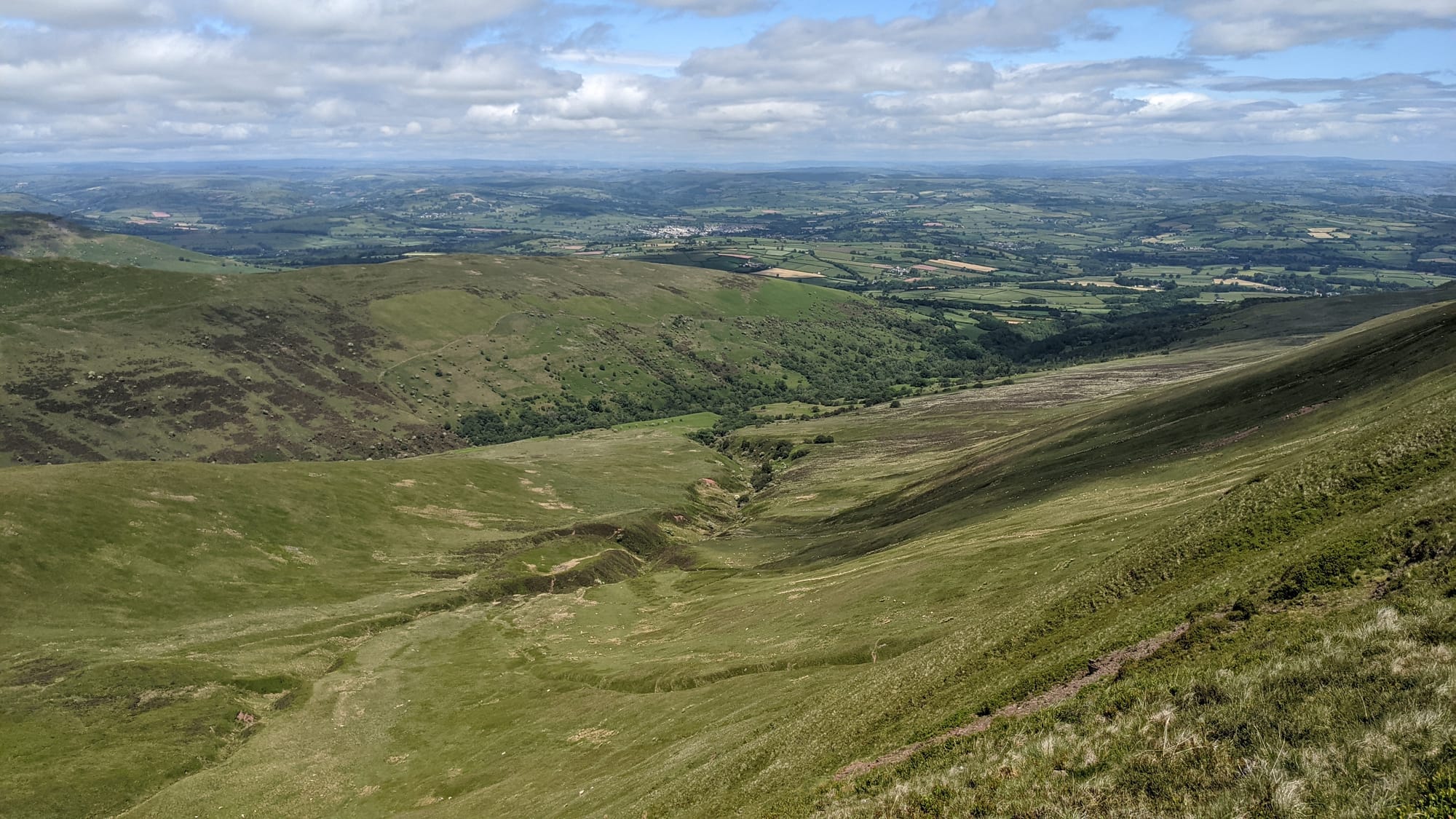
Now the down part. Down might be easier than up, but it still isn't easy. This was quite a rapid descent with Cribyn and Pen y Fan looming to my right and a track, allegedly a Roman road, leading off to my left. The Romans left Britain in 400AD, and no one's managed to do any repairs to this track in the intervening 1621 years and it's starting to show. It was often easier to walk on the grass either side of the track.
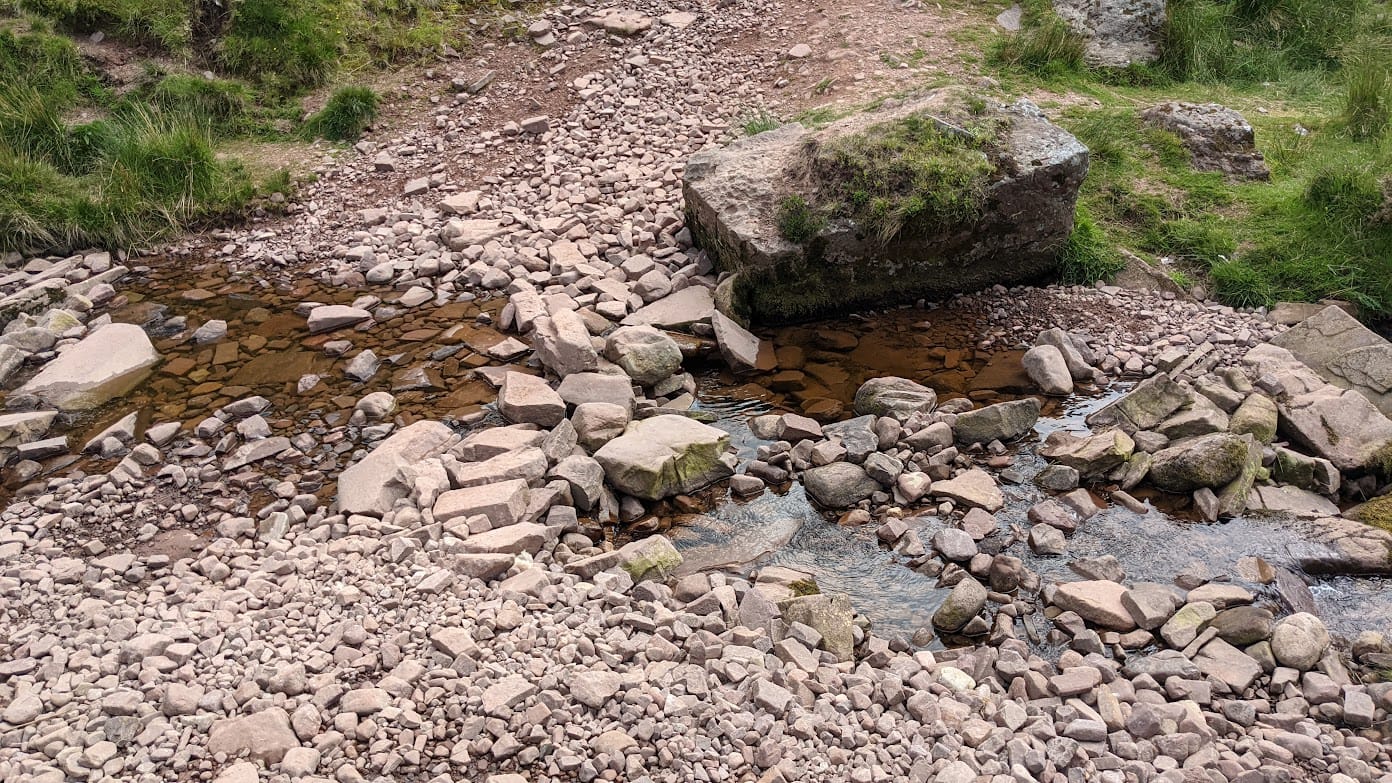
The road is long, with many a-winding turn, that takes us to who knows where? Well, I know where (The Hollies never mentioned that, did they?). It comes to a stream where my non-T guidebook suggests one of two routes depending upon whether the stream is "fordable" (their words).
Turns out it was "fordable". I'm not even sure it qualifies as a stream: it had about a pint of water passing every fortnight.
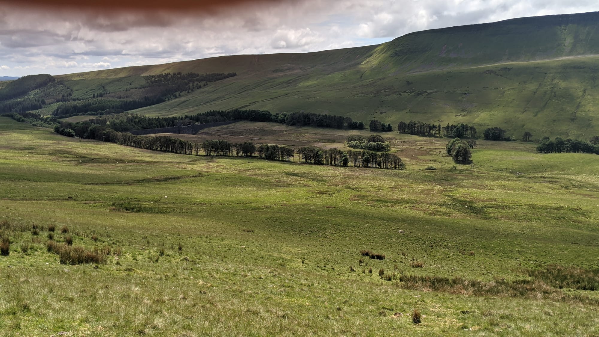
Onwards and upwards! The walk was now alongside some conifer trees on a stony path. Similar to yesterday, I met very few people - most of the time, I couldn't see anyone else other than some dots wandering around on top of Pen y Fan, no doubt waiting for the photo op with the sign.
I came on this week alone - no wife, no daughter, no Labrador. I do have all of those things, but I left them at home. This was a week for just me, and I was happy to be solitary for the walks. I might bring Cecilia back to repeat today's walk, possibly with The Labrador too. But I digress.
As the path continued, three things happened. It started going downhill; the surface became loose stone (not ideal for walking on), and it became narrower. After a while, it abandoned all notion of being a path and decided to become a forest road instead. Smart choice, path, and much easier to walk on.
The forest road became a delightful footpath - a few sheep around, gates to go through, trees, blue sky, larks singing. Usual countryside stuff.
Finally, a short walk on a road to get back to the car park. And of course it was UP HILL.
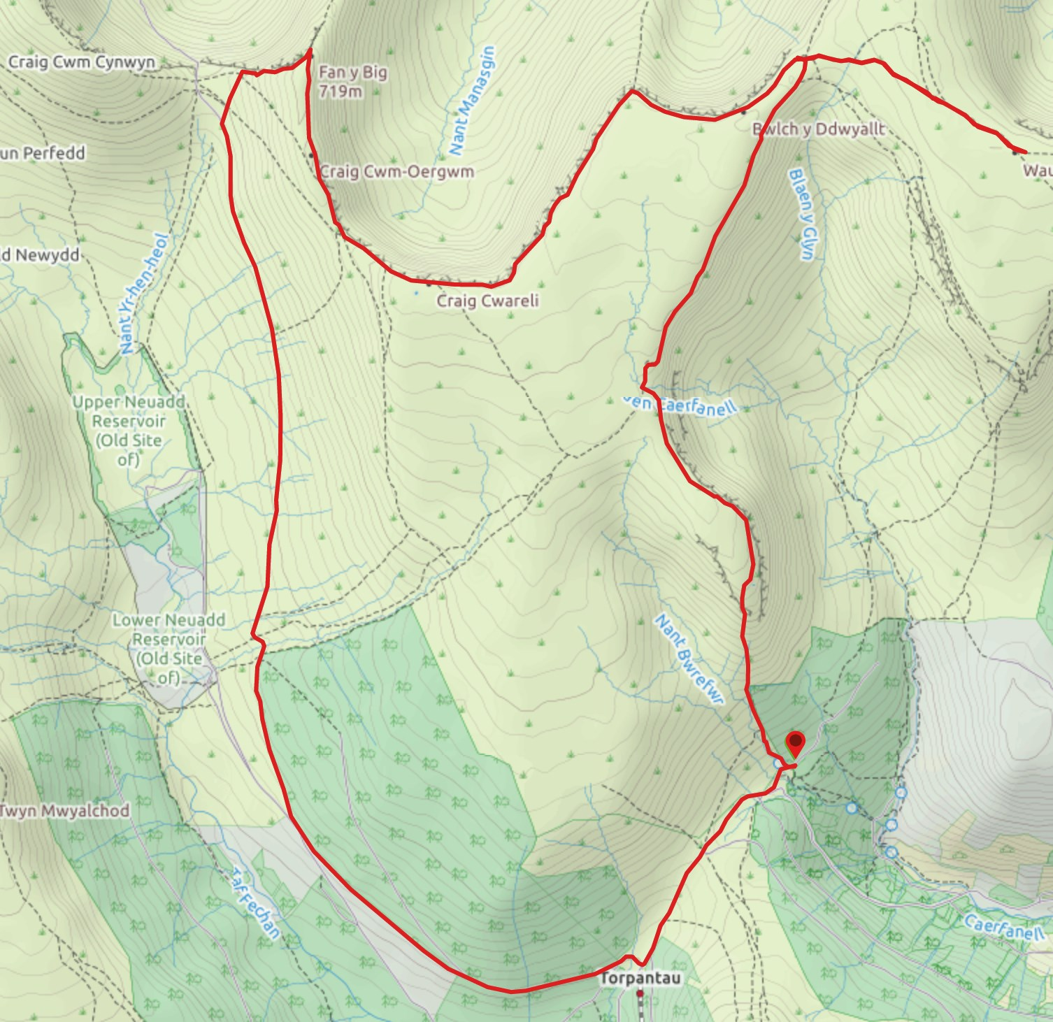
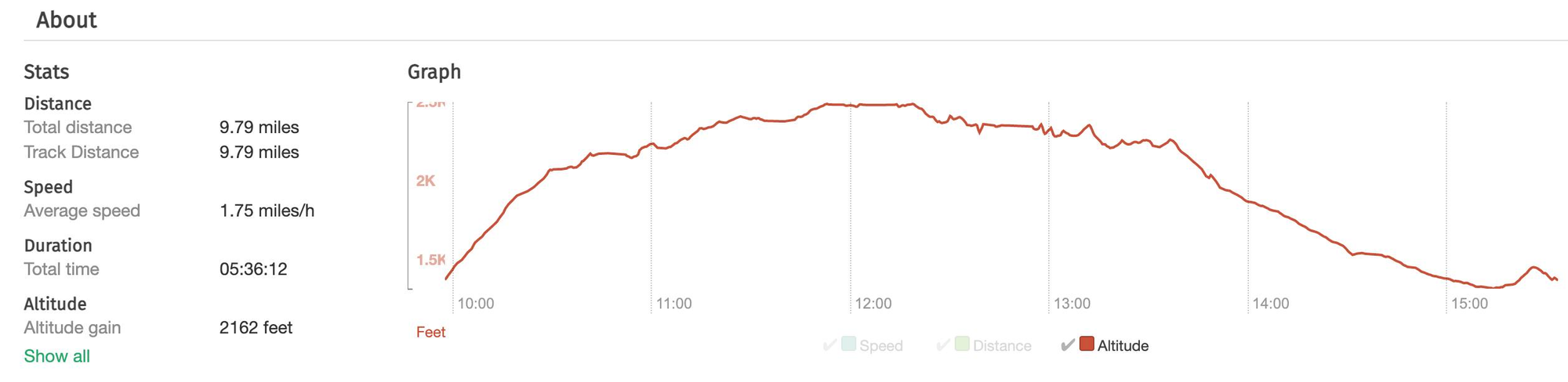
Maps and stats
Distance: 9.8 miles
Verdict: fab