Brecon Beacons, day 5 / 5
Day 5 of my Brecons walk: find the the site of a WW2 crashed bomber
18 June 2021
My last day in the Brecons, and I wanted to do something a bit different.
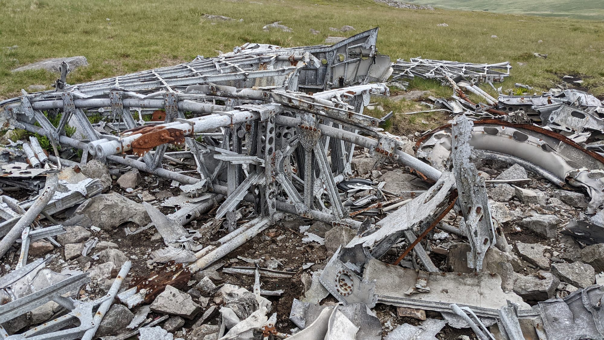
On the night of 20th November 1944, a Vickers Wellington from 22 Operational Training Unit, call sign MF509, departed from Wellesbourne Mountford on a cross country exercise. During the flight, the starboard engine developed problems, causing the Wellington to lose height. It flew into cloud, which exacerbated their crew's problems as ice accreted on the wings. This both increases the weight of the aircraft and reduces the ability of the wings to generate lift. The aircraft continued to lose height and crashed into Garreg Goch, killing all six Canadian crew members.
I wanted to find the site of the accident.
To date, my Brecon walks have been taken from the excellent "Brecon Beacons Walks" published by Pathfinder Guides. Mostly good descriptions, mostly identifiable paths, often a few other walkers on the route. For today's walk, I downloaded a route from the ViewRanger website that would allegedly take me to the site of the Wellington
I was aware that this would be more cross-country, fewer paths and few people around. The weather forecast was fine if cloudy, but of course things can change quickly on the hills and mountains.
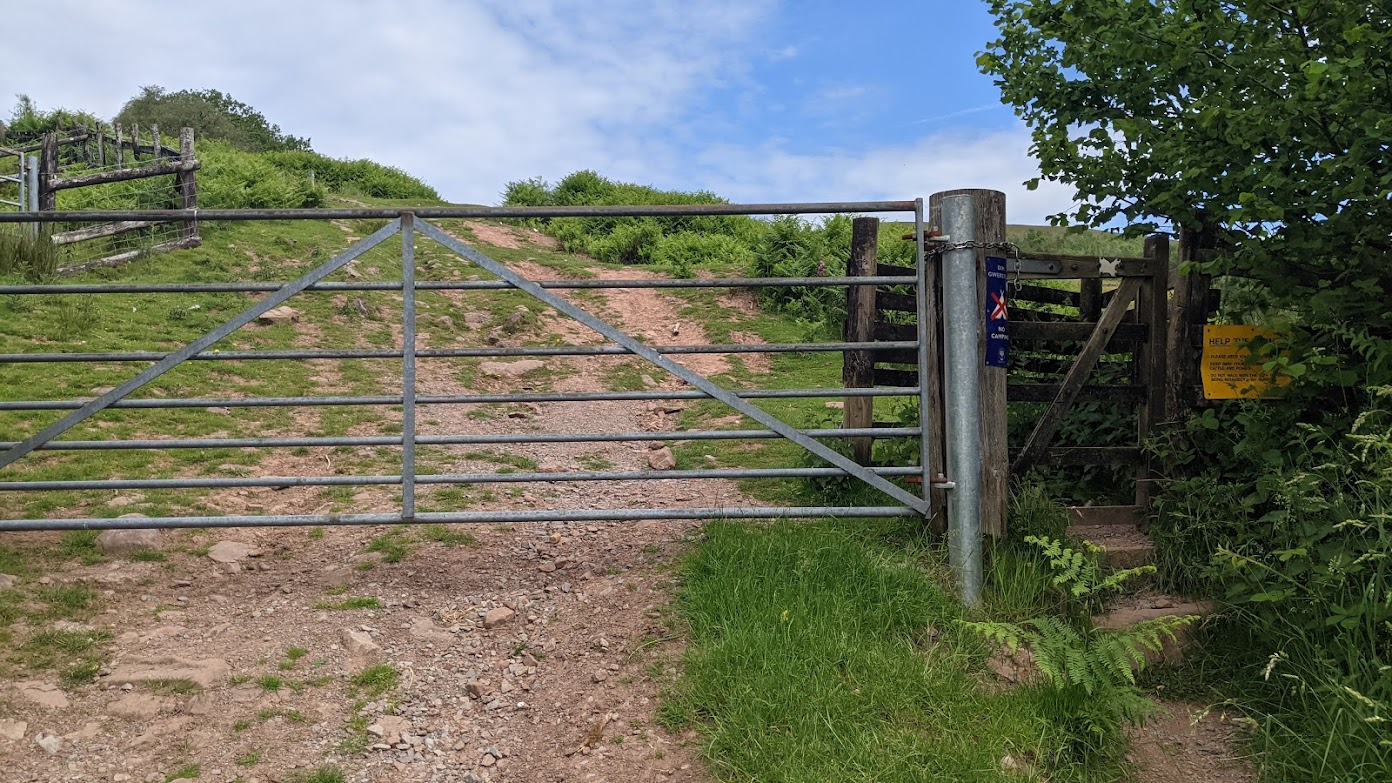
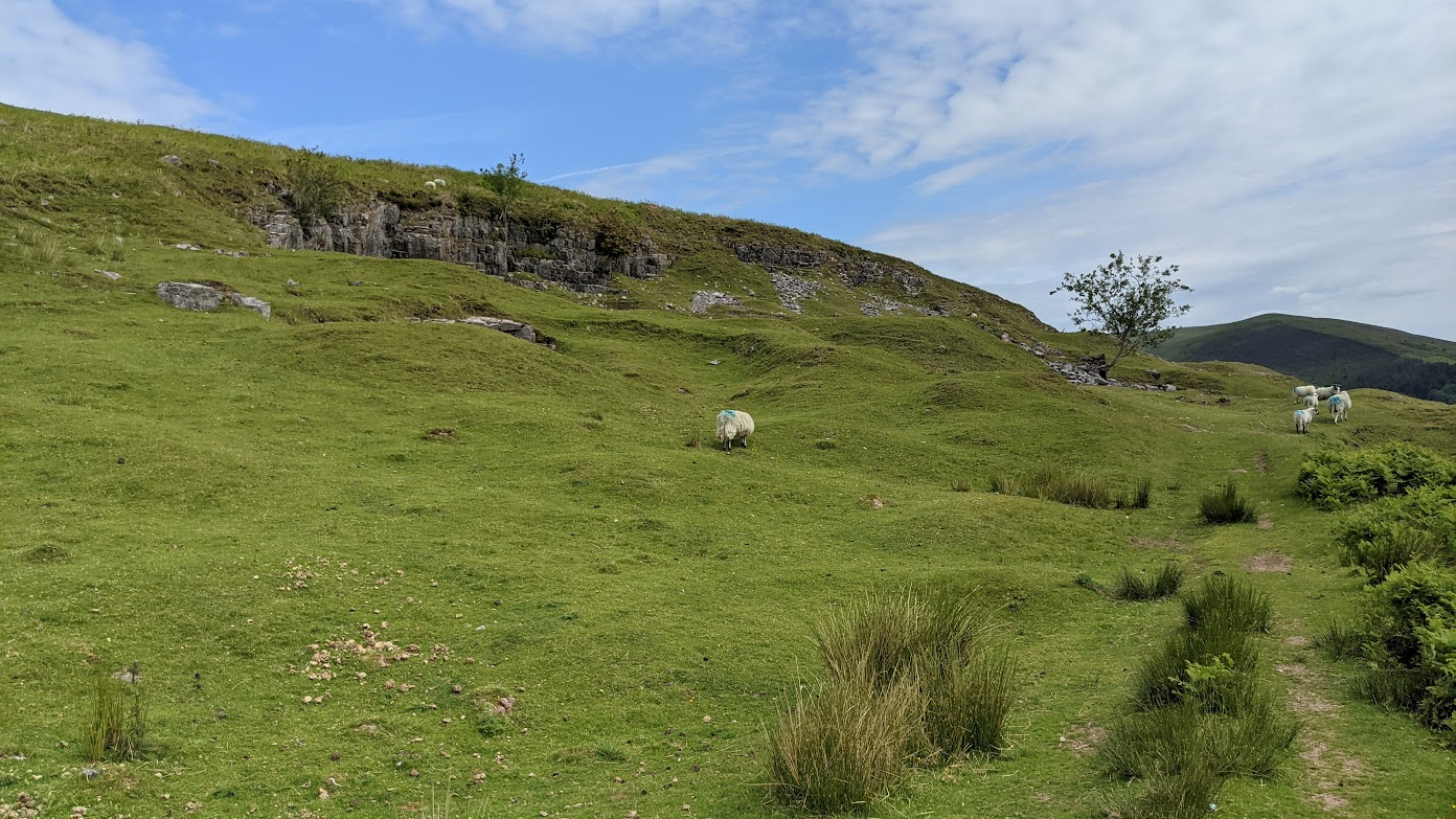
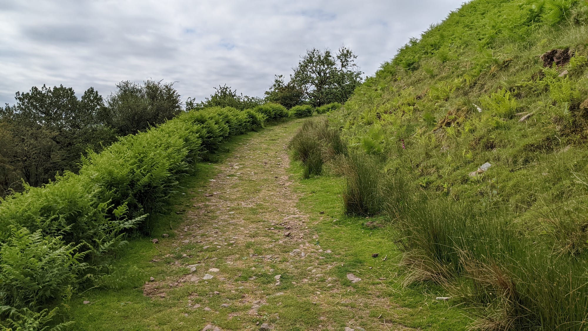
The first part was easy: park and then follow a path which went up (of course). I passed through a kissing gate - what an odd name - sadly devoid of anyone to kiss. No matter: press on.
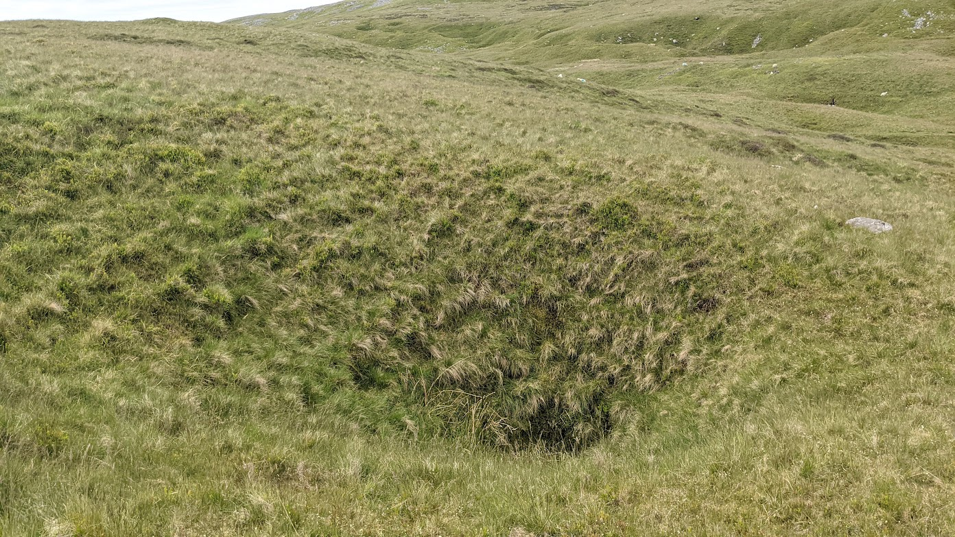
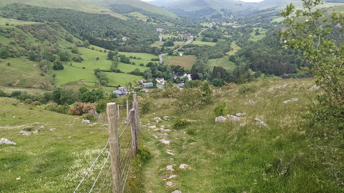
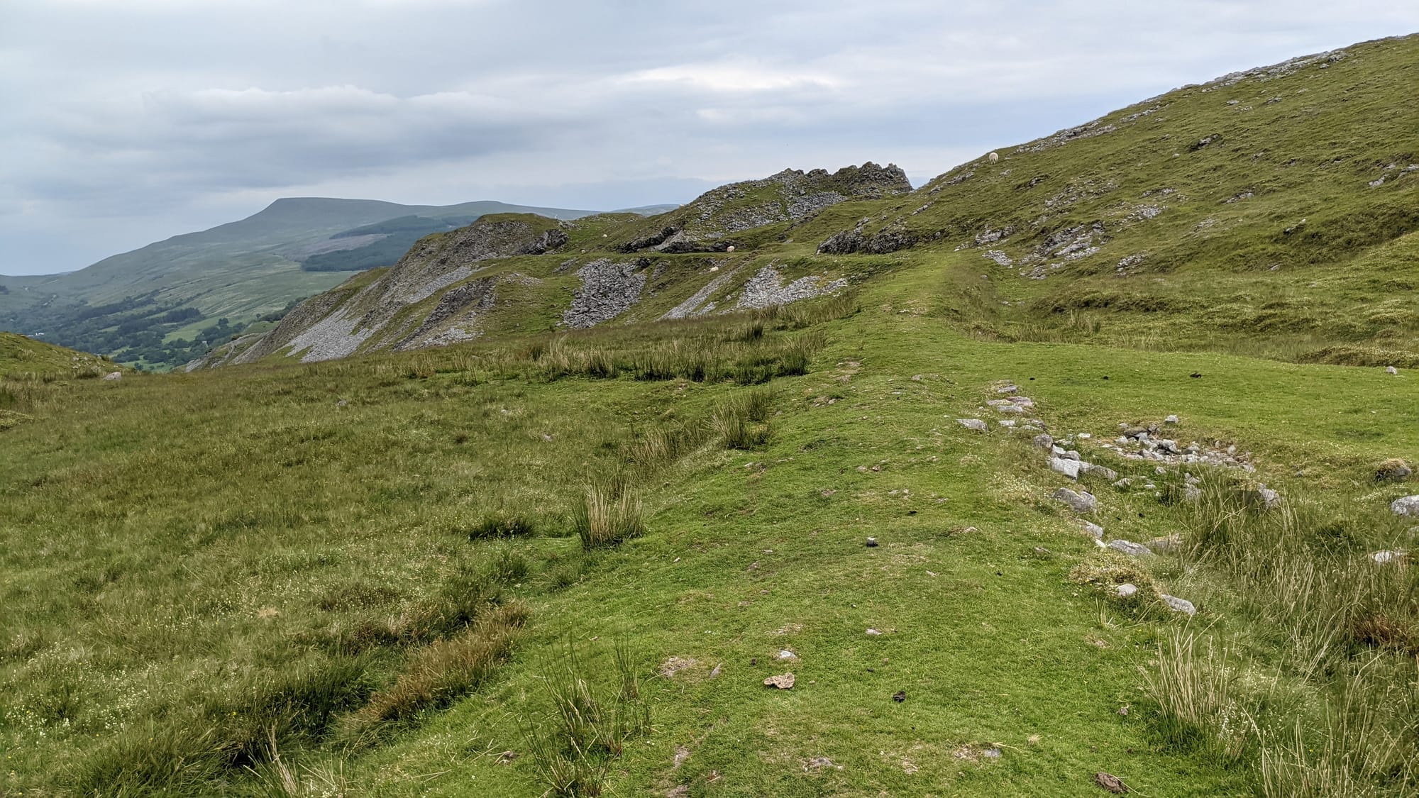
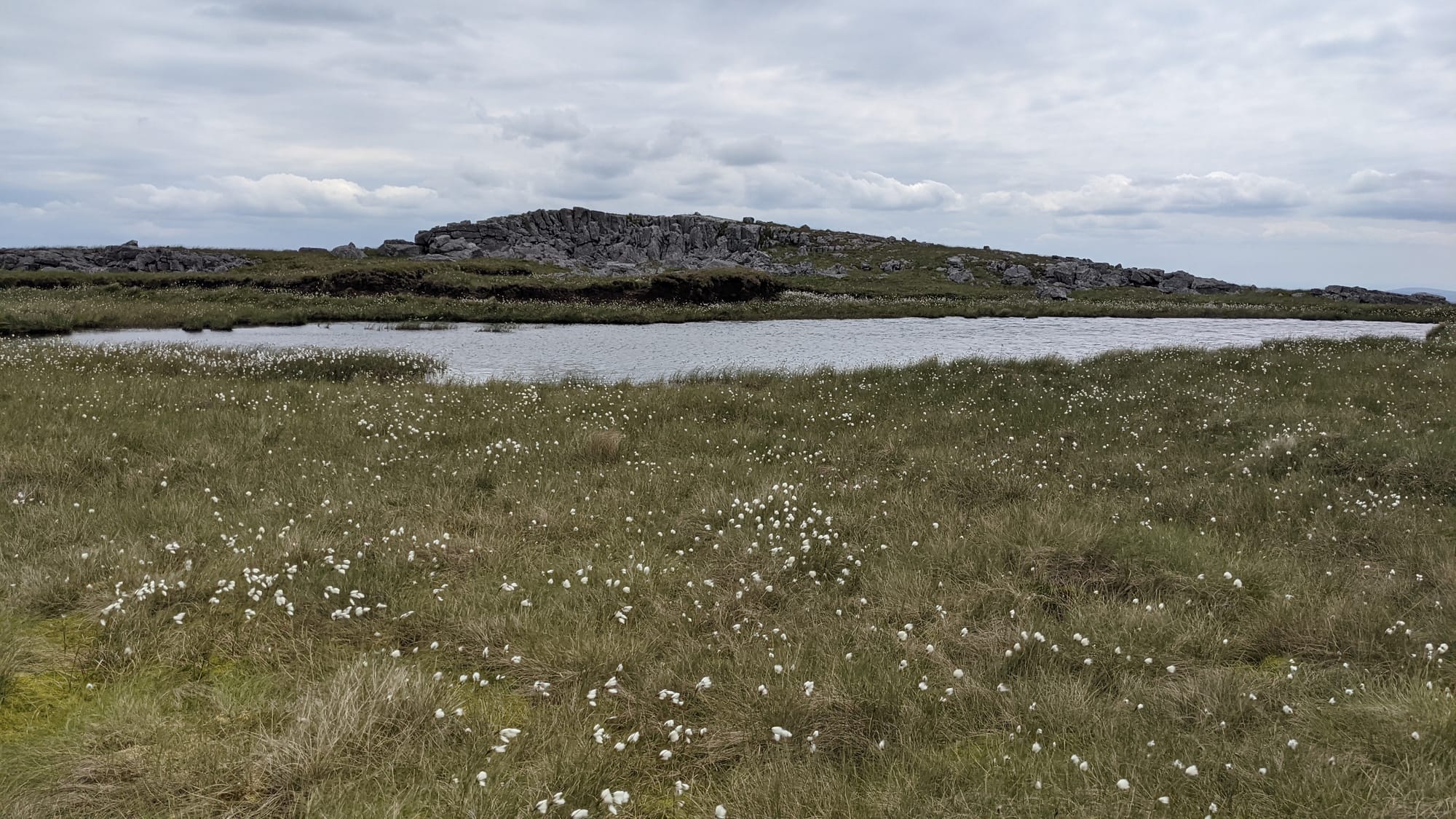
I soon reached the top of the hill, and now paths were much scarcer, often non-existent. The route I'd downloaded consisted of straight lines between waypoints, but the terrain didn't do straight lines. It became easier to either walk a course via the compass or pick a feature on the horizon to head for, then skirt round gulleys, rock piles, boggy patches, recalcitrant sheep and the like.
As usual, the higher I got, the colder and windier it became. I found that if I kept walking I didn't get cold. So I kept walking.
I was keeping an eye on the weather. Cloud base was high and temperature was comfortable, but some of the hills had a slight haze. I decided to ensure I was aware of which way to walk if it all went wrong ("walk south to that path, then east to the road"). For the gliding fraternity, a bit like an aerotow: "If the rope breaks now..."
Much time was spent working out the best way round obstacles. I'd start to go left, then see that the ground fell away at an alarming angle, so would retrace my steps and try again. I was quite happy to do that - it's what I'd expected on this type of walk - but it all took time.
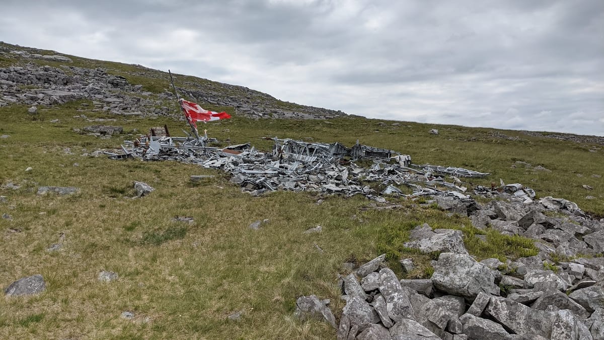
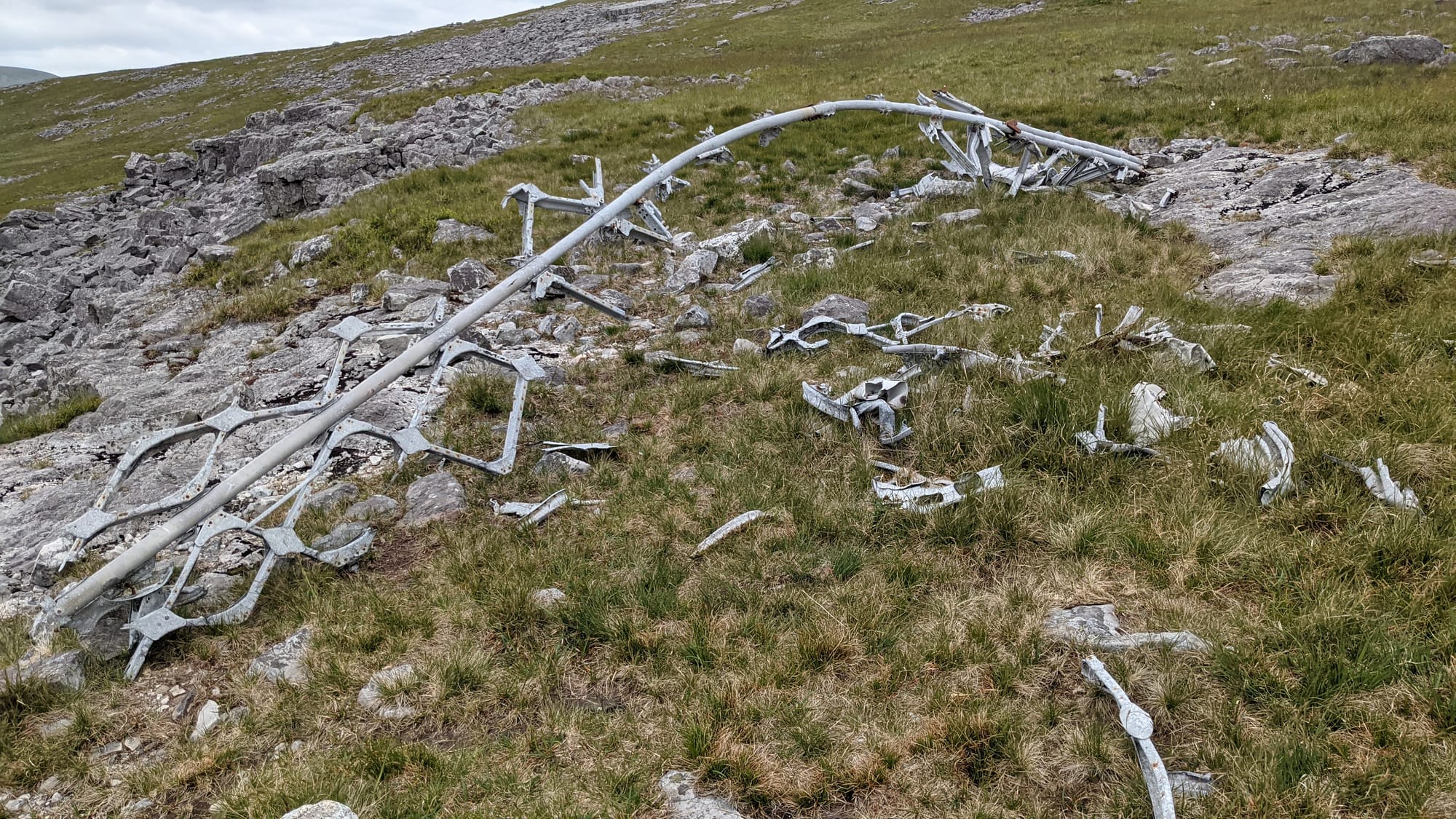
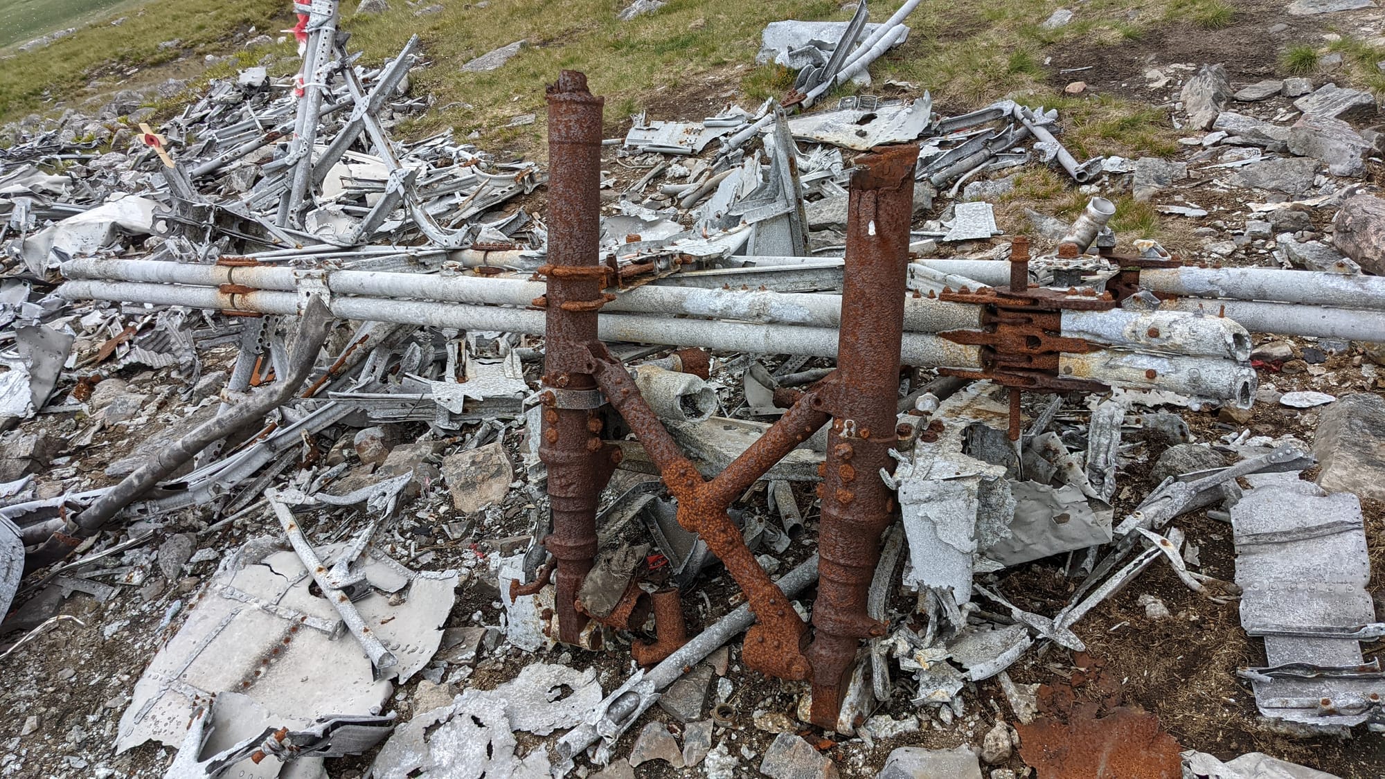
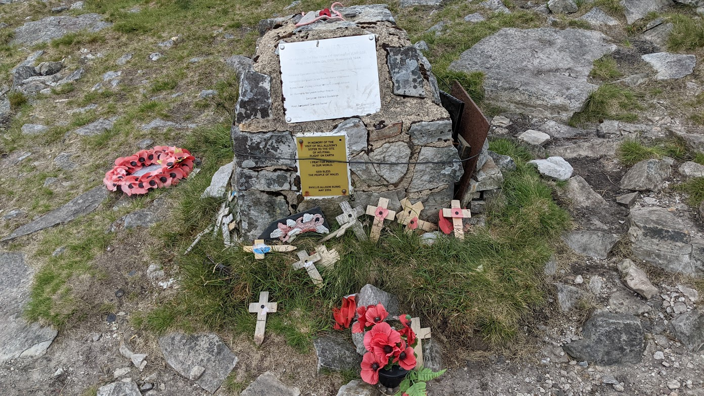
Suddenly I could see something red fluttering in the wind. It turned out to be a somewhat dilapidated Canadian flag. I'd found the accident site.
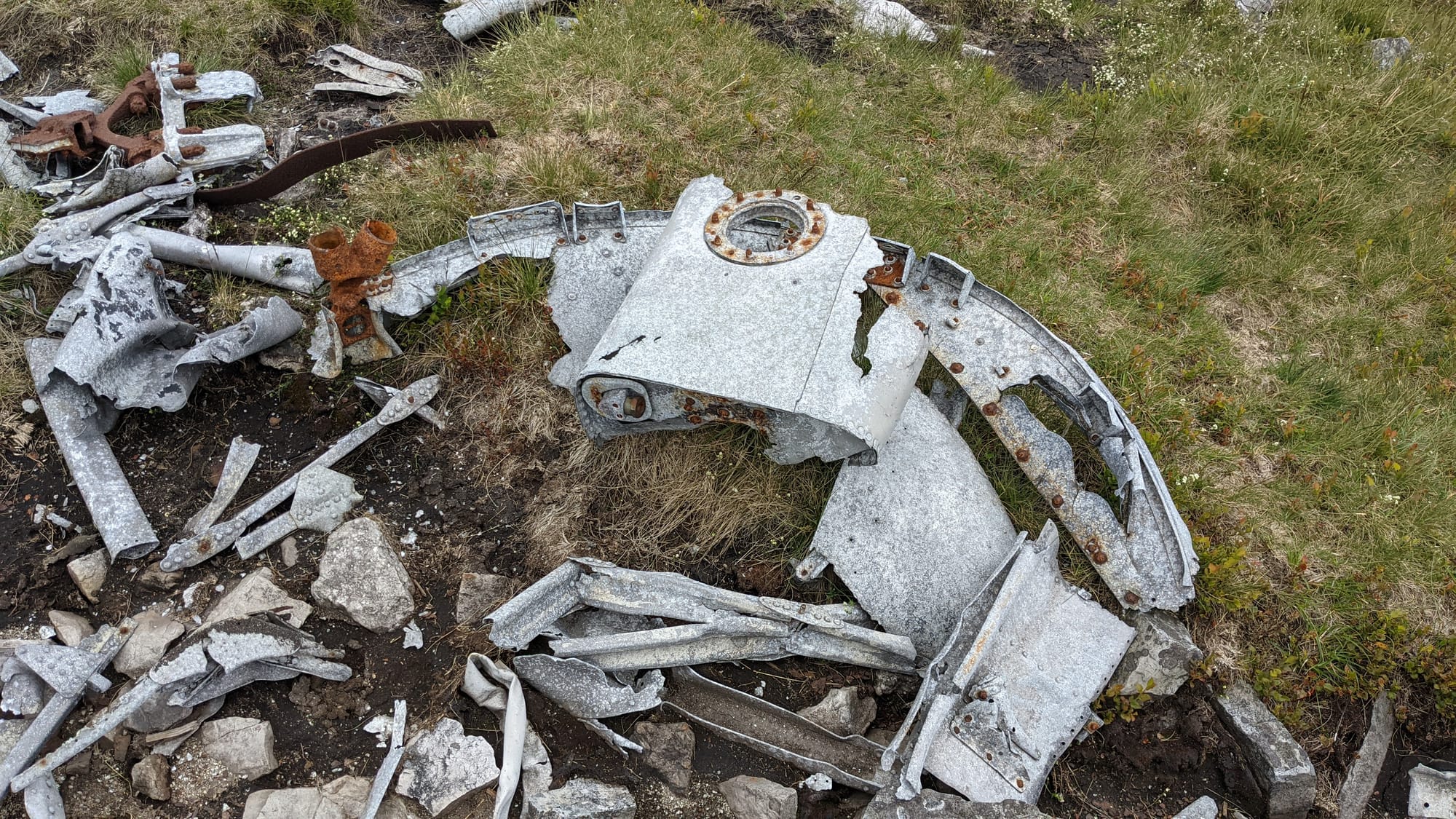
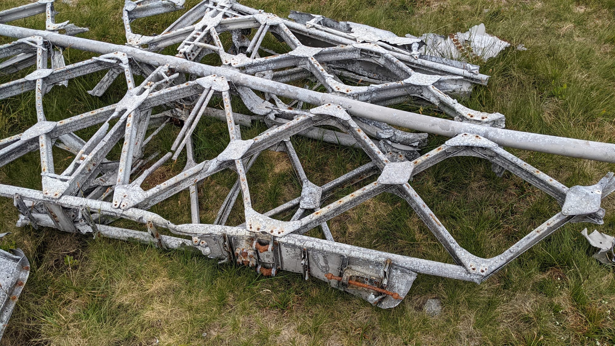
Considering that the accident took place seventy-six and a half years ago, there's a reasonable amount of wreckage. I could identify a wing section and an undercarriage leg; there were lots of other bits of bent metal that defied categorisation.
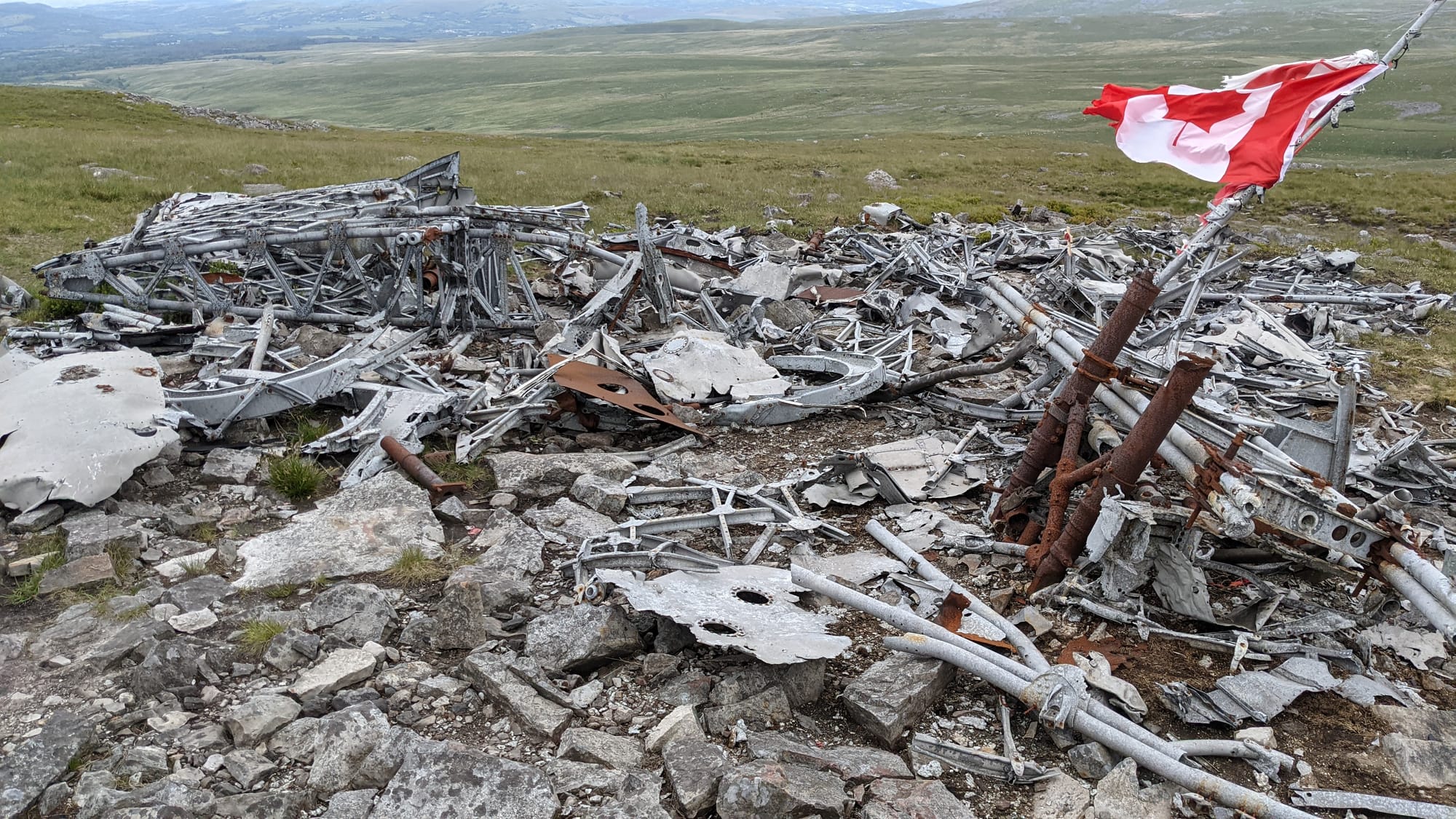

There's a memorial plaque that gives the date of the accident and the names of the six crew who were killed. It's sobering. Here I was, alone on a mountain, looking at the wreckage of an accident from three quarters of a century ago, trying - and failing - to imagine how the crew must have felt. Aircraft in trouble, losing height, in cloud, over mountainous terrain. They must have been terrified, nursing the aircraft along, praying for a miracle. And here I am, living a safe and comfortable life, visiting them on their lonely hillside.
A word about bravery. It's easy to look at someone and admire their bravery, but that is to miss the point. Bravery isn't someone doing something that you think is scary. Bravery is them facing something that they think is scary, and doing it anyway.
Flying a bomber in World War 2? We have no idea.
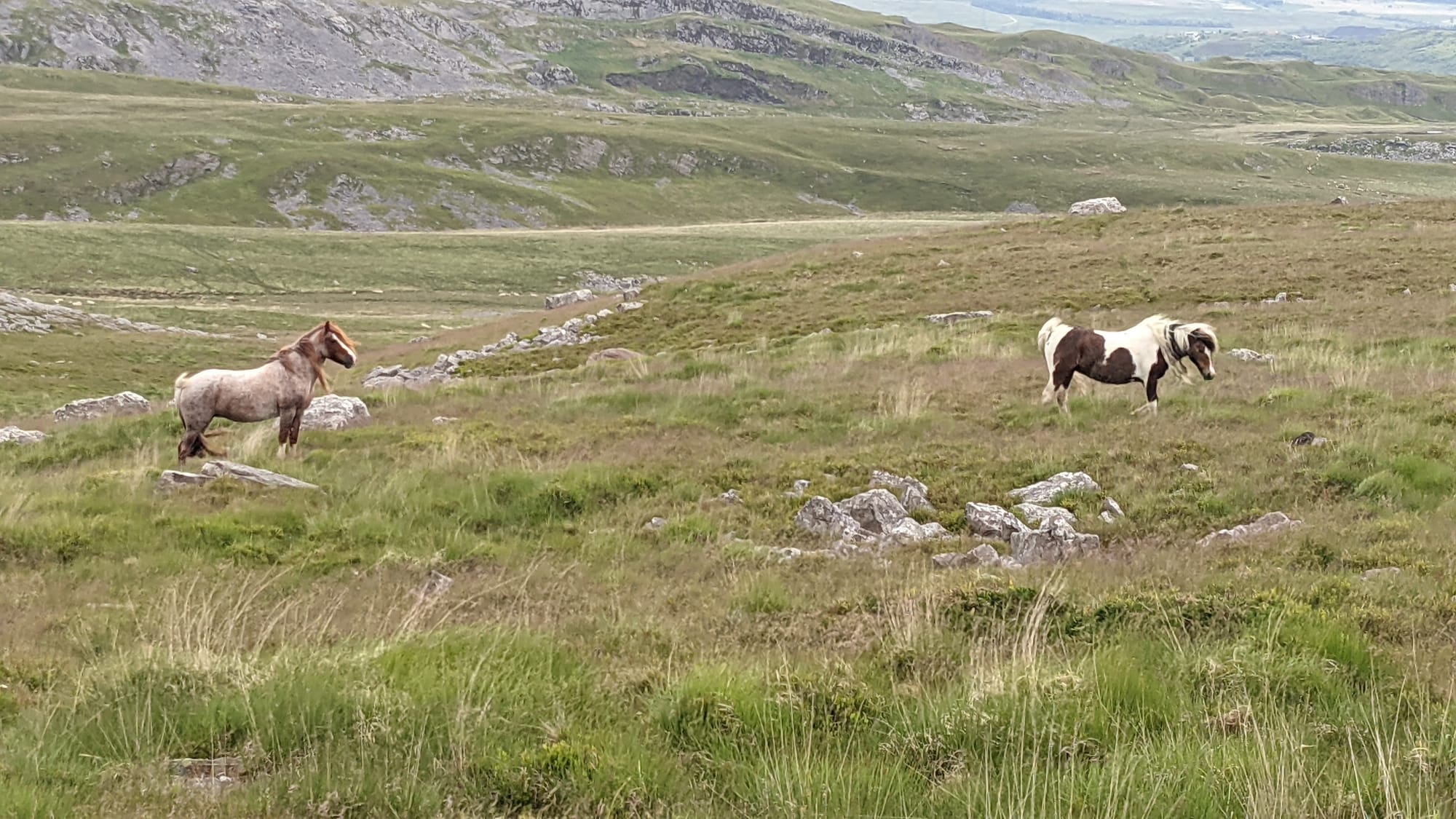
Time to move on. The route I'd downloaded had a few more waypoints, but there is nothing in particular to see. There's the somewhat ragged beauty of unspoiled landscape; some sheep (quite a lot them, truth told); some horses - I even saw a foal - but the waypoints on the route were just that: random waypoints.
I drifted back towards where I'd parked the car, braver now, not following the route I'd downloaded at all. At one point, I looked down from on high and could see the approximate path that route would have me on - but I'm up here, and it's great! Except I need to get down somehow...
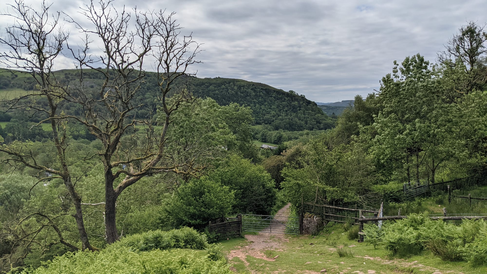
The clue was a fence that disappeared from view ahead of me as it went downhill. If there's a fence then I can get down too: they don't build fences down vertical cliff faces.
It was a steep climb down, but on the plus side it was on a path. The path became less steep and continued through a woods: very pleasant. Finally, it emerged onto the road about 0.6 of a mile from where I was parked - and it wasn't even uphill to get back!


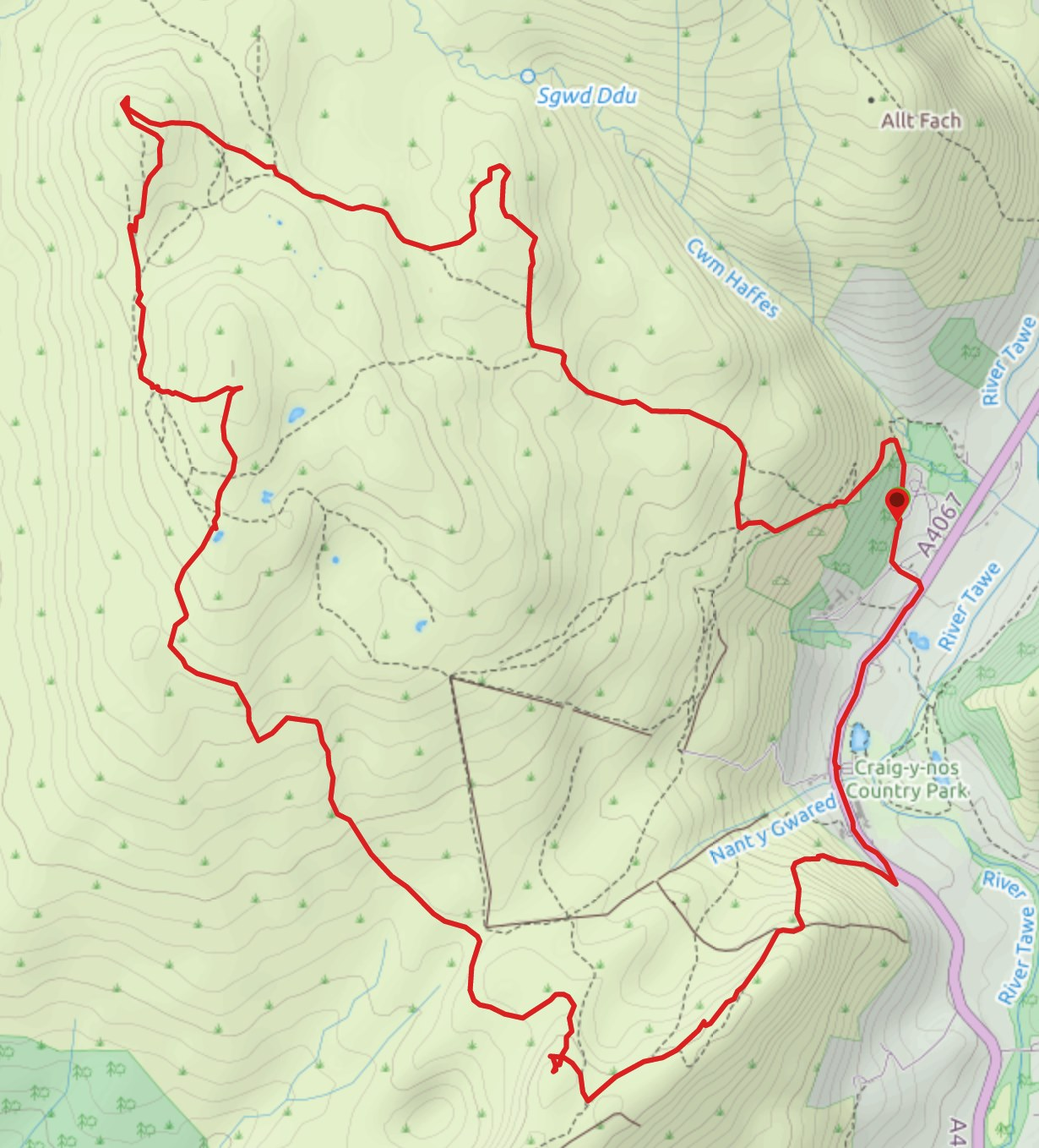
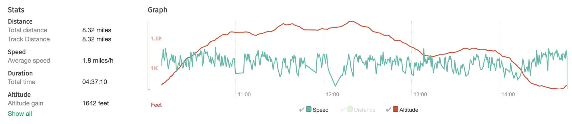
Map and stats
Distance: 8.3 miles
Verdict: exhilarating to go off piste; sobering to see the site; a good last day.